Boilhandy
Boilhandy is a dwelling in Aberdeenshire, North East Scotland, Scotland. Boilhandy is situated nearby to the peak Hill of Tornahaish, as well as near Càrn na Gobhair.| Tap on a place to explore it |
Places of Interest Nearby
Highlights include Corgarff Castle.
Corgarff Castle
Castle

Photo: Camer01, CC BY-SA 3.0.
Corgarff Castle is located slightly west of the village of Corgarff, in Aberdeenshire, north-east Scotland. It stands by the Lecht road, which crosses the pass between Strathdon and Tomintoul. Corgarff Castle is situated 2½ miles west of Boilhandy.
Places in the Area
Nearby places include Corgarff and Cock Bridge.
Corgarff
Hamlet

Photo: Camer01, CC BY-SA 3.0.
Corgarff is a hamlet in Aberdeenshire, Scotland, in the Grampian Mountains. The nearby Corgarff Castle was used as a military barracks in the 18th century. The hamlet's primary school closed in 1998.
Cock Bridge
Hamlet
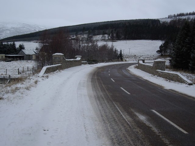
Photo: Stanley Howe, CC BY-SA 2.0.
Cock Bridge is a settlement in Aberdeenshire, Scotland, located in the Cairngorms National Park, on the A939 road near Corgarff and Corgarff Castle, between Bellabeg at Strathdon in Aberdeenshire, on the road to the Lecht Ski Centre, and towards Tomintoul in Moray. Cock Bridge is situated 2½ miles west of Boilhandy.
Lost
Hamlet

Photo: Wikimedia, CC BY-SA 2.0.
Lost (Lòsda in Scottish Gaelic; population: less than 24; grid reference NJ349132 is a hamlet in Aberdeenshire, Scotland. It lies 40 miles west of Aberdeen in the Cairngorm mountains. Lost is situated 5 miles northeast of Boilhandy.
Boilhandy
- Type: Dwelling
- Categories: locality, residential building, and building
- Location: Aberdeenshire, North East Scotland, Scotland, United Kingdom, Britain and Ireland, Europe
- View on OpenStreetMap
Latitude
57.15678° or 57° 9′ 24″ northLongitude
-3.17028° or 3° 10′ 13″ westOpen location code
9C9R5R4H+PVOpenStreetMap ID
node 11761728735OpenStreetMap feature
place=isolated_dwelling
This page is based on OpenStreetMap, Wikidata, and Wikimedia Commons.
We’d love your help improving our open data sources. Thank you for contributing.
Satellite Map
Discover Boilhandy from above in high-definition satellite imagery.
Notable Places Nearby
Highlights include Hill of Tornahaish and Commonwealth War Grave.
Nearby Places
Explore places such as John Forbes’s Cairn and Tornahaish.
Aberdeenshire: Must-Visit Destinations
Delve into Aberdeen, Stonehaven, Peterhead, and Banff.
Curious Dwellings to Discover
Uncover intriguing dwellings from every corner of the globe.
About Mapcarta. Data © OpenStreetMap contributors and available under the Open Database License". Text is available under the CC BY-SA 4.0 license, except for photos, directions, and the map. Photo: Matmilne, CC0.