RUSLERUNDEN
RUSLERUNDEN is in Kongsberg, Buskerud, Innlandet. RUSLERUNDEN is situated nearby to the reservoir Gabe Gottes wahr-tam, as well as near Veamyr.| Tap on a place to explore it |
Places of Interest Nearby
Highlights include Saggrenda Bridge and Kongsberg Bridge.
Saggrenda Bridge
Bridge
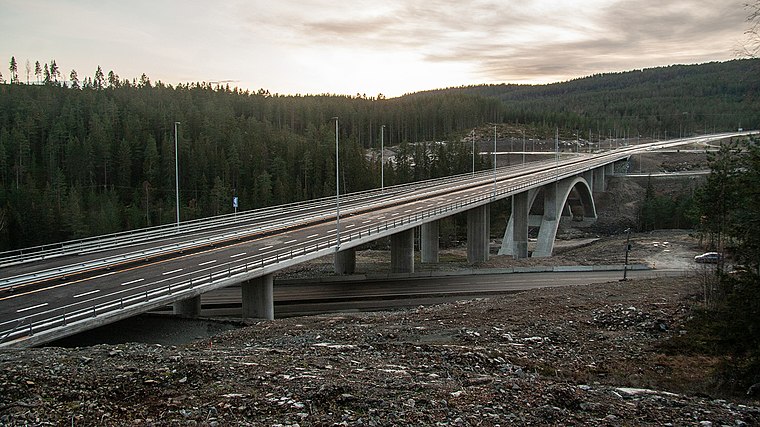
Photo: Bergenga, CC BY-SA 4.0.
Saggrenda Bridge is situated 2 km southeast of RUSLERUNDEN.
Kongsberg Bridge
Bridge

Photo: Bergenga, CC BY-SA 4.0.
Kongsberg Bridge is situated 3 km east of RUSLERUNDEN.
Kongsberg School of Mines
School building

Photo: Thomas.bjorndahl, CC BY-SA 3.0.
Kongsberg School of Mines was an academic institution for mining technology in Kongsberg, Norway from 1757 to 1814. Kongsberg School of Mines is situated 4 km northeast of RUSLERUNDEN.
Places in the Area
Nearby places include Skollenborg.
Skollenborg
Hamlet

Photo: Wikimedia, CC BY-SA 3.0.
Skollenborg is a small village in Sandsvær in the municipality of Kongsberg in Buskerud county, Norway. Since 2015 Skollenborg has been a part of the Kongsberg urban area. Skollenborg is situated 6 km east of RUSLERUNDEN.
RUSLERUNDEN
- Type: Sign
- Categories: information and tourism
- Location: Kongsberg, Buskerud, East Norway, Alvdal, Innlandet, Norway, Nordic countries, Europe
- View on OpenStreetMap
Latitude
59.64022° or 59° 38′ 25″ northLongitude
9.59557° or 9° 35′ 44″ eastOpen location code
9FFFJHRW+36OpenStreetMap ID
node 11976604498OpenStreetMap feature
tourism=information
This page is based on OpenStreetMap, Wikidata, and Wikimedia Commons.
We’d love your help improving our open data sources. Thank you for contributing.
Satellite Map
Discover RUSLERUNDEN from above in high-definition satellite imagery.
Notable Places Nearby
Highlights include Gabe Gottes wahr-tam and Veamyr.
Nearby Places
Explore places such as Hiking routes from Fredheim and Fredheim Helsesenter.
Buskerud: Must-Visit Destinations
Delve into Drammen, Hemsedal, Hallingdal, and Geilo.
Curious Places to Discover
Uncover intriguing places from every corner of the globe.
About Mapcarta. Data © OpenStreetMap contributors and available under the Open Database License". Text is available under the CC BY-SA 4.0 license, except for photos, directions, and the map. Photo: Wikimedia, CC BY-SA 3.0.