The Salvation Army Red Shield Industries
The Salvation Army Red Shield Industries is a second-hand shop in Singapore. The Salvation Army Red Shield Industries is situated nearby to the mosque Masjid Jamae Queenstown, as well as near the church Grace Assembly of God.| Tap on a place to explore it |
Places of Interest Nearby
Highlights include Grace Assembly of God and Queenstown Secondary School.
Grace Assembly of God
Church
Grace Assembly of God is one of the 48 affiliated members of the Assemblies of God of Singapore. It operates from two locations viz. Grace @ Tanglin and Grace @ Bukit Batok. Grace Assembly of God is situated 150 metres east of The Salvation Army Red Shield Industries.
Queenstown Secondary School
School
Queenstown Secondary School is a co-educational government secondary school in Queenstown, Singapore. QTSS was one of the 28 schools selected by the Ministry of Education to start piloting aspects of Full Subject-Based Banding from 2020 onwards due to its ability to help students fulfil their potential. Queenstown Secondary School is situated 240 metres southwest of The Salvation Army Red Shield Industries.
Redhill
Metro station

Photo: Frumperino, CC BY-SA 3.0.
Redhill MRT station is an above-ground Mass Rapid Transit station in Singapore on the East–West Line. Operated by SMRT, the station serves nearby landmarks such as the Delta Swimming Complex and Thye Hong Centre. Redhill is situated 550 metres south of The Salvation Army Red Shield Industries.
Places in the Area
Nearby places include Tanglin and Queenstown.
Tanglin
Suburb
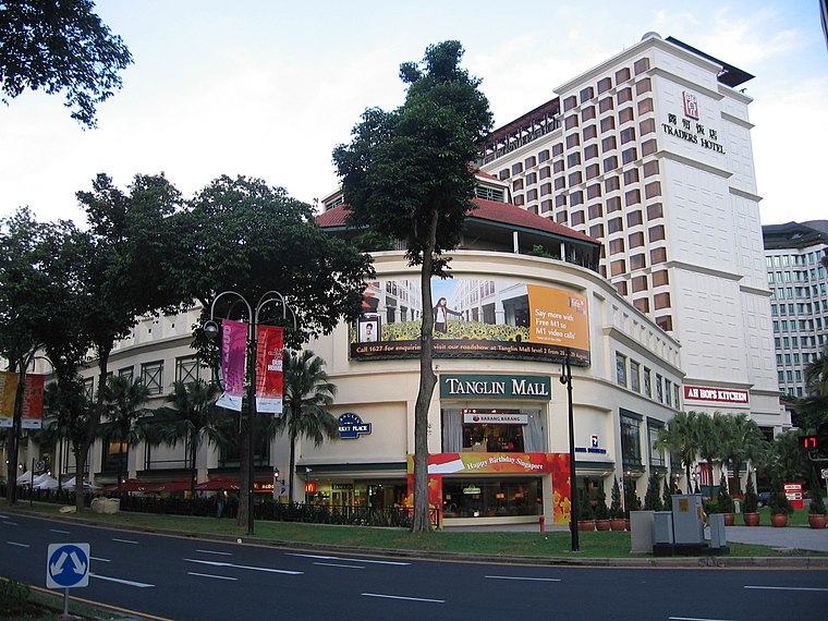
Photo: Sengkang, Copyrighted free use.
Tanglin is a planning area located within the Central Region of Singapore. Tanglin is located west of Newton, Orchard, River Valley and Singapore River, south of Novena, east of Bukit Timah, northeast of Queenstown and north of Bukit Merah.
Queenstown
Suburb

Photo: Wikimedia, CC BY-SA 2.5.
Queenstown is a planning area and satellite residential town situated on the south-westernmost fringe of the Central Region of Singapore. It borders Bukit Timah to the north, Tanglin to the northeast, Bukit Merah to the east and southeast, as well as Clementi to the northwest and west.
The Interlace
Neighborhood
 The Interlace is a 1,040-unit apartment building complex located at the boundary between Bukit Merah and Queenstown, Singapore. Noteworthy for its break from the typical tower design in cities with high population densities, it resembles Jenga blocks or caskets irregularly stacked upon each other.
The Salvation Army Red Shield Industries
- Type: Second-hand shop
- Category: shop
- Location: Singapore, Southeast Asia, Asia
- View on OpenStreetMap
Latitude
1.29427° or 1° 17′ 39″ northLongitude
103.81513° or 103° 48′ 54″ eastOpen location code
6PH57RV8+P2OpenStreetMap ID
node 12206543124OpenStreetMap feature
shop=second_hand
This page is based on OpenStreetMap, Wikidata, and Wikimedia Commons.
We’d love your help improving our open data sources. Thank you for contributing.
Satellite Map
Discover The Salvation Army Red Shield Industries from above in high-definition satellite imagery.
Notable Places Nearby
Highlights include Masjid Jamae Queenstown and Alexandra Canal Linear Park.
Nearby Places
Explore places such as After Margaret Drive and Queenstown Secondary School.
Singapore: Must-Visit Destinations
Delve into Singapore Changi Airport, Sentosa and Harbourfront, North and West, and Riverside.
Curious Second-Hand Shops to Discover
Uncover intriguing second-hand shops from every corner of the globe.
About Mapcarta. Data © OpenStreetMap contributors and available under the Open Database License". Text is available under the CC BY-SA 4.0 license, except for photos, directions, and the map. Photo: Khairul Nizam, CC BY 2.0.