Skin Ski & Surf
Skin Ski & Surf is a sport shop in Shire of Moira, Victoria. Skin Ski & Surf is situated nearby to the health club The Bridge of Health, as well as near Yarrawonga Post Office.| Tap on a place to explore it |
Places of Interest Nearby
Highlights include Yarrawonga Weir Power Station and Yarrawonga Airport.
Yarrawonga Weir Power Station
Power station
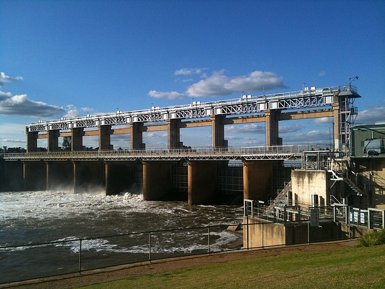
Photo: Mattinbgn, CC BY-SA 3.0.
Yarrawonga Weir Power Station is a hydroelectric power station at Lake Mulwala on the Murray River, Victoria, Australia. Yarrawonga Weir has a generating capacity of 9.5 megawatts of electricity. Yarrawonga Weir Power Station is situated 430 metres west of Skin Ski & Surf.
Yarrawonga Airport
Aerodrome
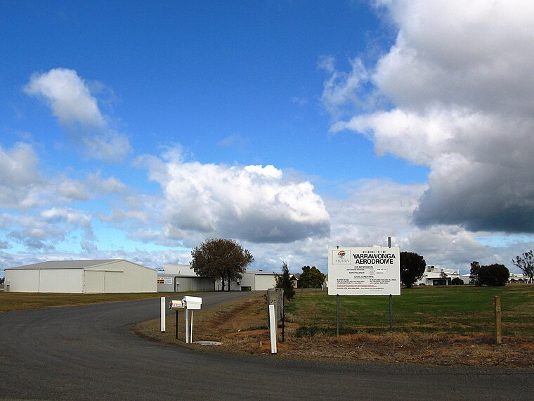
Photo: Mattinbgn, CC BY-SA 3.0.
Yarrawonga Airport is located 2 nautical miles south-east of the town of Yarrawonga, Victoria on the border with New South Wales, Australia. Yarrawonga Airport is situated 3½ km southeast of Skin Ski & Surf.
Places in the Area
Nearby places include Yarrawonga and Yarrawonga-Mulwala.
Yarrawonga
Town
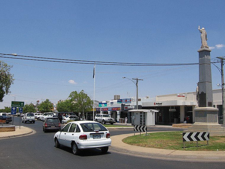
Photo: Mattinbgn, Public domain.
Yarrawonga is a town in the Shire of Moira local government area in the Australian state of Victoria. In the 2021 census, Yarrawonga had a population of 8,661 people.
Yarrawonga-Mulwala

Photo: Mattinbgn, Public domain.
Yarrawonga-Mulwala is a twin city on the border of the Murray River in the Riverina.
Bathumi
Locality
Bathumi is a town located in the Shire of Moira local government area. The Ski-Land Motel is in Bathumi and is located on the corner of Boomahnoomoonah Road and the Murray Valley Highway. Bathumi is situated 8 km east of Skin Ski & Surf.
Skin Ski & Surf
- Type: Sport shop
- Category: shop
- Location: Shire of Moira, Victoria, Australia, Oceania
- View on OpenStreetMap
Latitude
-36.01001° or 36° 0′ 36″ southLongitude
146.00423° or 146° 0′ 15″ eastOpen location code
4RM8X2Q3+XMOpenStreetMap ID
node 12696268405OpenStreetMap feature
shop=sports
This page is based on OpenStreetMap, Wikidata, and Wikimedia Commons.
We’d love your help improving our open data sources. Thank you for contributing.
Satellite Map
Discover Skin Ski & Surf from above in high-definition satellite imagery.
Places with the Same Name
Discover other places named “Skin Ski & Surf”.
Notable Places Nearby
Highlights include The Bridge of Health and Yarrawonga Post Office.
Nearby Places
Explore places such as WigX Chop Barber Shop and Ali Baba.
Victoria: Must-Visit Destinations
Delve into Melbourne, CBD, Geelong, and Ballarat.
Curious Sport Shops to Discover
Uncover intriguing sport shops from every corner of the globe.
About Mapcarta. Data © OpenStreetMap contributors and available under the Open Database License". Text is available under the CC BY-SA 4.0 license, except for photos, directions, and the map. Photo: Ricmik, CC BY-SA 3.0.