Good Hands
Good Hands is a massage shop in Shire of Moira, Victoria. Good Hands is situated nearby to the health club The Bridge of Health, as well as near Yarrawonga Library.| Tap on a place to explore it |
Places of Interest Nearby
Highlights include Yarrawonga Weir Power Station and Yarrawonga Airport.
Yarrawonga Weir Power Station
Power station
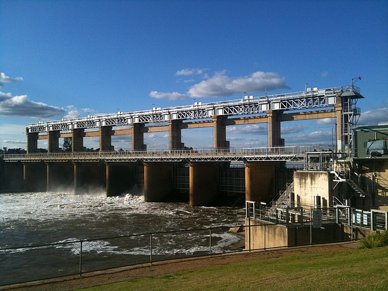
Photo: Mattinbgn, CC BY-SA 3.0.
Yarrawonga Weir Power Station is a hydroelectric power station at Lake Mulwala on the Murray River, Victoria, Australia. Yarrawonga Weir has a generating capacity of 9.5 megawatts of electricity. Yarrawonga Weir Power Station is situated 430 metres west of Good Hands.
Yarrawonga Airport
Aerodrome
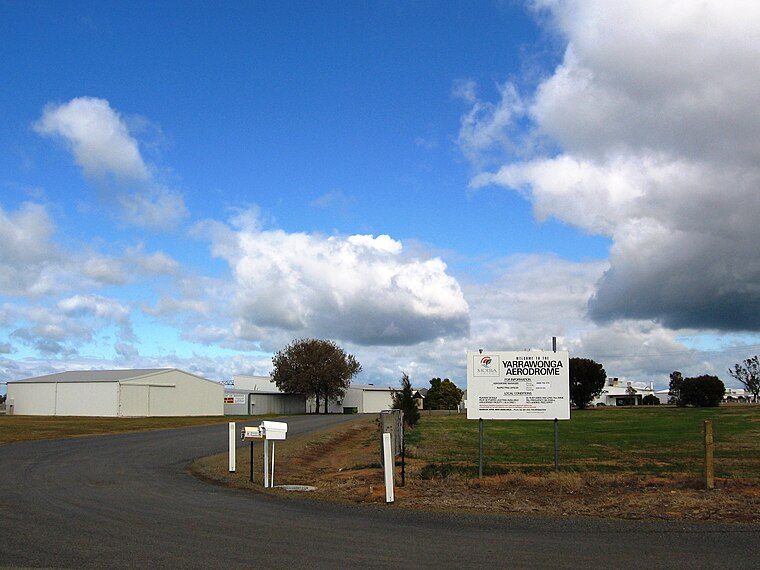
Photo: Mattinbgn, CC BY-SA 3.0.
Yarrawonga Airport is located 2 nautical miles south-east of the town of Yarrawonga, Victoria on the border with New South Wales, Australia. Yarrawonga Airport is situated 3½ km southeast of Good Hands.
Places in the Area
Nearby places include Yarrawonga and Yarrawonga-Mulwala.
Yarrawonga
Town
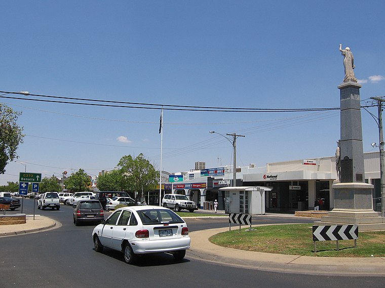
Photo: Mattinbgn, Public domain.
Yarrawonga is a town in the Shire of Moira local government area in the Australian state of Victoria. In the 2021 census, Yarrawonga had a population of 8,661 people.
Yarrawonga-Mulwala

Photo: Mattinbgn, Public domain.
Yarrawonga-Mulwala is a twin city on the border of the Murray River in the Riverina.
Bathumi
Locality
Bathumi is a town located in the Shire of Moira local government area. The Ski-Land Motel is in Bathumi and is located on the corner of Boomahnoomoonah Road and the Murray Valley Highway. Bathumi is situated 8 km east of Good Hands.
Good Hands
- Type: Massage shop
- Category: shop
- Location: Shire of Moira, Victoria, Australia, Oceania
- View on OpenStreetMap
Latitude
-36.00987° or 36° 0′ 36″ southLongitude
146.00424° or 146° 0′ 15″ eastOpen location code
4RM8X2R3+3MOpenStreetMap ID
node 12696268406OpenStreetMap feature
shop=massage
This page is based on OpenStreetMap, Wikidata, and Wikimedia Commons.
We’d love your help improving our open data sources. Thank you for contributing.
Satellite Map
Discover Good Hands from above in high-definition satellite imagery.
Notable Places Nearby
Highlights include The Bridge of Health and Yarrawonga Library.
Nearby Places
Explore places such as Ali Baba and Stockman Station.
Victoria: Must-Visit Destinations
Delve into Melbourne, CBD, Geelong, and Ballarat.
Curious Massage Shops to Discover
Uncover intriguing massage shops from every corner of the globe.
About Mapcarta. Data © OpenStreetMap contributors and available under the Open Database License". Text is available under the CC BY-SA 4.0 license, except for photos, directions, and the map. Photo: Ricmik, CC BY-SA 3.0.