Fortificazioni
Fortificazioni is a castle in La Thuile, Aosta Valley. Fortificazioni is situated nearby to the mountain saddle Colle Della Croce, as well as near the castle Ricovero Capitano Sandino.| Tap on a place to explore it |
Places of Interest Nearby
Highlights include Lake of Arpy and Colle San Carlo.

Colle San Carlo
Mountain saddle
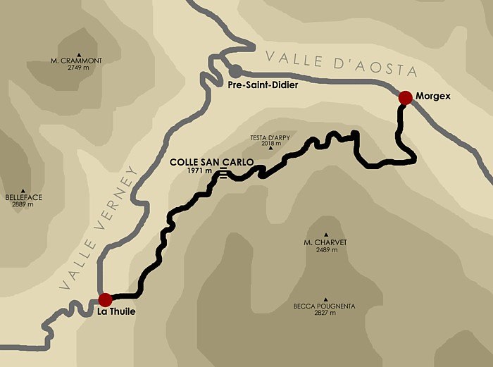
Photo: Idéfix, CC BY-SA 3.0.
Colle San Carlo is a mountain saddle, which is situated 3 km north of Fortificazioni.
Lago di Pietra Rossa

Photo: Alessandro Cantamessa, CC BY-SA 3.0.
Lago di Pietra Rossa is situated 2 km southeast of Fortificazioni.
Places in the Area
Nearby places include Courmayeur and Derby.
Courmayeur

Photo: Kulmalukko, CC BY-SA 3.0.
Courmayeur is a skiing and mountaineering resort at the head of Valle d’Aosta, in northwest Italy. At 1224 m elevation, it has a spectacular location near the foot of Mont Blanc.
Derby
Village

Photo: Patafisik, CC BY-SA 3.0.
Derby is a village, which is situated 8 km east of Fortificazioni.
Fortificazioni
- Type: Tourist attraction
- Categories: castle, tourism, and historic site
- Location: La Thuile, Aosta Valley, Northwest Italy, Italy, Europe
- View on OpenStreetMap
Latitude
45.71784° or 45° 43′ 4″ northLongitude
6.98298° or 6° 58′ 59″ eastOpen location code
8FQ8PX9M+45OpenStreetMap ID
node 1495164462OpenStreetMap feature
historic=castleOpenStreetMap feature
tourism=attractionWikidata ID
Q67772058
This page is based on OpenStreetMap, Wikidata, and Wikimedia Commons.
We’d love your help improving our open data sources. Thank you for contributing.
Satellite Map
Discover Fortificazioni from above in high-definition satellite imagery.
Places with the Same Name
Discover other places named “Fortificazioni”.
Notable Places Nearby
Highlights include Colle Della Croce and Fortificazioni.
Nearby Places
Explore places such as Il sistema di Fortificazioni and Foillex Superiore.
Curious Places to Discover
Uncover intriguing places from every corner of the globe.
About Mapcarta. Data © OpenStreetMap contributors and available under the Open Database License". Text is available under the CC BY-SA 4.0 license, except for photos, directions, and the map. Photo: DimiTalen, CC0.