Col d’Ameran
Col d’Ameran is a mountain saddle in Morgex, Aosta Valley and has an elevation of 2,696 metres. Col d’Ameran is situated nearby to the locality Plan Rancon, as well as near the hamlet La Haut - Val Du Fond.| Tap on a place to explore it |
Places of Interest
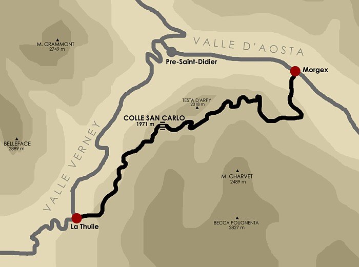
Highlights include Lake of Arpy and Colle San Carlo.


Places in the Area
Nearby places include La Thuile and Derby.


Col d’Ameran
- Type: Mountain saddle with an elevation of 2,696 metres
- Category: landform
- Location: Morgex, Aosta Valley, Northwest Italy, Italy, Europe
- View on OpenStreetMap
Latitude
45.7137° or 45° 42′ 49″ northLongitude
7.0119° or 7° 0′ 43″ eastElevation
2,696 metres (8,845 feet)Open location code
8FQ9P276+FQOpenStreetMap ID
node 1496115532OpenStreetMap feature
natural=saddle
This page is based on OpenStreetMap, Wikidata, and Wikimedia Commons.
We’d love your help improving our open data sources. Thank you for contributing.
Satellite Map
Discover Col d’Ameran from above in high-definition satellite imagery.
Localities in the Area
Explore places such as Plan Rancon and La Haut - Val Du Fond.
Notable Places Nearby
Highlights include Becca Pouegnenta and Passage de Tereza.
Aosta Valley: Must-Visit Destinations
Delve into Aosta, Courmayeur, and La Thuile.
Curious Mountain Saddles to Discover
Uncover intriguing mountain saddles from every corner of the globe.
About Mapcarta. Data © OpenStreetMap contributors and available under the Open Database License". Text is available under the CC BY-SA 4.0 license, except for photos, directions, and the map. Photo: Cruccone, CC BY 3.0.