Hiper Lipsker
Hiper Lipsker is a supermarket in Central District, Israel. Hiper Lipsker is situated nearby to the ruins Tohelet, as well as near the town hall Sdot Dan Regional Headquarters.| Tap on a place to explore it |
Places of Interest Nearby
Highlights include Ben Gurion International Airport and Kfar Chabad.
Ben Gurion International Airport

Photo: Mattes, CC BY-SA 4.0.
Ben Gurion International Airport is Israel's primary airport. Named after Israel's first prime minister, it is near the town of Lod, on the outskirts of the Tel Aviv metropolitan area.
Kfar Chabad
Railway station

Photo: Eden1996, Public domain.
The Kfar Chabad railway station is a railway station in the central Israeli village of Kfar Chabad. The station lies between Lod and Tel Aviv HaHagana. Kfar Chabad is situated 380 metres east of Hiper Lipsker.
Ben Gurion Airport
Railway station
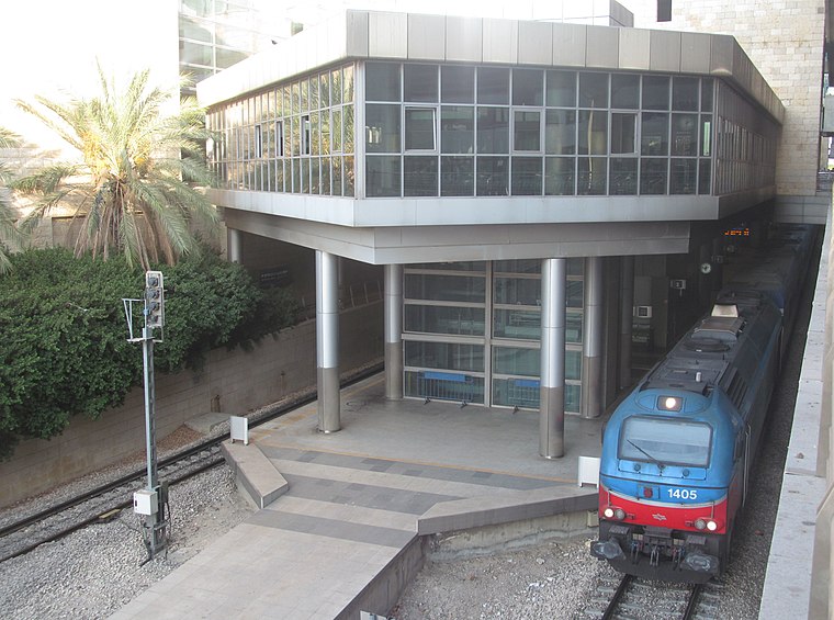
Photo: My another account, CC0.
Ben Gurion Airport railway station is an Israel Railways station located in the lower level of Ben Gurion International Airport's Terminal 3. The station opened on 10 October 2004, together with the opening of Terminal 3. Ben Gurion Airport is situated 2 km northeast of Hiper Lipsker.
Places in the Area
Nearby places include Kfar Chabad and Tzafria.
Kfar Chabad
Village

Photo: Hiker Mapper, CC0.
Kfar Chabad is a Chabad-Lubavitch community settlement in the Central District of Israel. Between Beit Dagan and Lod, it falls under the jurisdiction of Sdot Dan Regional Council. In 2023 it had a population of 6,438.
Tzafria
Village

Photo: Orrling, CC BY-SA 3.0.
Tzafria is a religious moshav in the Central District of Israel. Located near Ben Gurion International Airport, it falls under the jurisdiction of Sdot Dan Regional Council. In 2023 it had a population of 1,039.
Bet Dagan
Town

Photo: Tomer chelouche, Public domain.
Beit Dagan is a local council in the Central District of Israel. As of 2021, Beit Dagan had a population of 7,660.
Hiper Lipsker
- Type: Supermarket
- Categories: shop and food
- Location: Central District, Israel, Middle East, Asia
- View on OpenStreetMap
Latitude
31.99235° or 31° 59′ 33″ northLongitude
34.84937° or 34° 50′ 58″ eastOpen location code
8G3PXRRX+WPOpenStreetMap ID
node 2214703828OpenStreetMap feature
shop=supermarket
This page is based on OpenStreetMap, Wikidata, and Wikimedia Commons.
We’d love your help improving our open data sources. Thank you for contributing.
Satellite Map
Discover Hiper Lipsker from above in high-definition satellite imagery.
In Other Languages
“Hiper Lipsker” goes by many names.
- Hebrew: “היפר ליפסקר”
Notable Places Nearby
Highlights include Tohelet and Sdot Dan Regional Headquarters.
Nearby Places
Explore places such as Regional Council and Admor HaRashav/Ateret Rosh.
Israel: Must-Visit Destinations
Delve into Tel Aviv, Carmel Range, Haifa, and Nazareth.
Curious Supermarkets to Discover
Uncover intriguing supermarkets from every corner of the globe.
About Mapcarta. Data © OpenStreetMap contributors and available under the Open Database License". Text is available under the CC BY-SA 4.0 license, except for photos, directions, and the map. Photo: Bienchido, CC BY-SA 3.0.