Moir Crescent
Moir Crescent is a bus stop in Fife, North East Scotland, Scotland. Moir Crescent is situated nearby to Hallow Hill, as well as near Bogward Dovecot.| Tap on a place to explore it |
Places of Interest Nearby
Highlights include Bogward Dovecot and St Andrews Community Hospital.
Bogward Dovecot

Photo: Jim Bain, CC BY-SA 2.0.
Bogward Doocot is a rare early beehive-type doocot, or dovecote, in the Scottish town of St Andrews, Fife. In 1971, it was designated as a Category A listed building by Historic Scotland. Bogward Dovecot is situated 1,000 feet northwest of Moir Crescent.
St Andrews Community Hospital
Hospital
St Andrews Community Hospital is a small hospital to the south of the university town of St Andrews in Fife, Scotland. The hospital serves the town of St Andrews and surrounding villages in North East Fife and is managed by NHS Fife. St Andrews Community Hospital is situated 2,800 feet east of Moir Crescent.
St Andrews Museum
Museum

Photo: Jim Bain, CC BY-SA 2.0.
The St Andrews Museum is a museum focusing on the history of the town of St Andrews in St Andrews, Fife, Scotland. St Andrews Museum is situated 1 mile northeast of Moir Crescent.
Places in the Area
Nearby places include St Andrews and Strathkinness.
St Andrews

Photo: Wikimedia, Public domain.
St Andrews is a town on the coast of Fife in northeast Scotland. With a population of 16,930 in 2021, it's an attractive place famous for its ancient university and as the "home of golf".
Strathkinness
Village
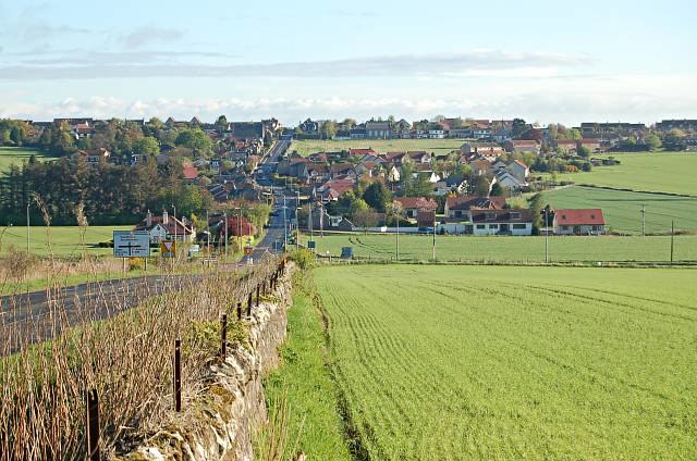
Photo: Jim Bain, CC BY-SA 2.0.
Strathkinness is a small village located 3 miles to the west of St Andrews in North East Fife. A key characteristic of the village is the newly developed housing in the centre of the village. Strathkinness is situated 2½ miles west of Moir Crescent.
Guardbridge
Village

Photo: Wikimedia, CC BY-SA 2.0.
Guardbridge is a village in the north-east of Fife, on the east coast of Scotland. It is approximately 3 miles north-west of St Andrews, and is situated on the estuary of the River Eden, at the junction of the A91 road between St Andrews and Stirling and the A919/A914 road between Leuchars and the Tay Road Bridge. Guardbridge is situated 3½ miles northwest of Moir Crescent.
Moir Crescent
- Type: Bus stop
- Category: transportation
- Location: Fife, North East Scotland, Scotland, United Kingdom, Britain and Ireland, Europe
- View on OpenStreetMap
Latitude
56.32874° or 56° 19′ 43″ northLongitude
-2.8188° or 2° 49′ 8″ westOpen location code
9C8V85HJ+FFOpenStreetMap ID
node 3305509769OpenStreetMap feature
highway=bus_stopOpenStreetMap feature
public_transport=platform
This page is based on OpenStreetMap, Wikidata, and Wikimedia Commons.
We’d love your help improving our open data sources. Thank you for contributing.
Satellite Map
Discover Moir Crescent from above in high-definition satellite imagery.
Places with the Same Name
Discover other places named “Moir Crescent”.
Notable Places Nearby
Highlights include Hallow Hill and Spinkie Den.
Nearby Places
Explore places such as John Knox Road and Cairnsden Gardens.
Fife: Must-Visit Destinations
Delve into Dunfermline, St Andrews, Kirkcaldy, and Glenrothes.
Curious Bus Stops to Discover
Uncover intriguing bus stops from every corner of the globe.
About Mapcarta. Data © OpenStreetMap contributors and available under the Open Database License". Text is available under the CC BY-SA 4.0 license, except for photos, directions, and the map. Photo: AlasdairW, CC BY-SA 3.0.