Fife Council Local Office
Fife Council Local Office is a bicycle parking in Fife, North East Scotland, Scotland. Fife Council Local Office is situated nearby to VJ Day 50th Anniversary Garden, as well as near the community center Victory Memorial Hall.| Tap on a place to explore it |
Places of Interest Nearby
Highlights include Hope Park Church, St Andrews and New Picture House.
Hope Park Church, St Andrews
Church

Photo: Jim Bain, CC BY-SA 2.0.
Hope Park Church in St Andrews, Fife, is a congregation of the Church of Scotland. Hope Park Church, St Andrews is situated 440 feet west of Fife Council Local Office.
New Picture House
Movie theater

Photo: ArchHist, CC BY-SA 4.0.
The New Picture House is an independent cinema in St Andrews, Scotland. The cinema opened in December 1930 with an original capacity of 910 seats and one screen, though was subsequently remodelled to contain three screens later equipped with traditional film projectors, digital projectors, and 3D projectors. New Picture House is situated 610 feet northeast of Fife Council Local Office.
St Andrews Museum
Museum

Photo: Jim Bain, CC BY-SA 2.0.
The St Andrews Museum is a museum focusing on the history of the town of St Andrews in St Andrews, Fife, Scotland. St Andrews Museum is situated 1,200 feet west of Fife Council Local Office.
Places in the Area
Nearby places include St Andrews and Strathkinness.
St Andrews

Photo: Wikimedia, Public domain.
St Andrews is a town on the coast of Fife in northeast Scotland. With a population of 16,930 in 2021, it's an attractive place famous for its ancient university and as the "home of golf".
Strathkinness
Village
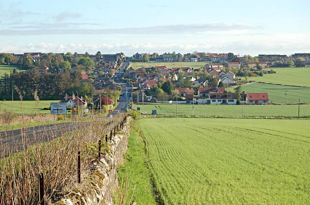
Photo: Jim Bain, CC BY-SA 2.0.
Strathkinness is a small village located 3 miles to the west of St Andrews in North East Fife. A key characteristic of the village is the newly developed housing in the centre of the village. Strathkinness is situated 3 miles west of Fife Council Local Office.
Guardbridge
Village

Photo: Wikimedia, CC BY-SA 2.0.
Guardbridge is a village in the north-east of Fife, on the east coast of Scotland. It is approximately 3 miles north-west of St Andrews, and is situated on the estuary of the River Eden, at the junction of the A91 road between St Andrews and Stirling and the A919/A914 road between Leuchars and the Tay Road Bridge. Guardbridge is situated 4 miles west of Fife Council Local Office.
Fife Council Local Office
- Type: Bicycle parking
- Category: transportation
- Location: Fife, North East Scotland, Scotland, United Kingdom, Britain and Ireland, Europe
- View on OpenStreetMap
Latitude
56.34038° or 56° 20′ 25″ northLongitude
-2.79956° or 2° 47′ 58″ westOperator
Fife CouncilOpen location code
9C8V86R2+55OpenStreetMap ID
node 3834471376OpenStreetMap feature
amenity=bicycle_parking
This page is based on OpenStreetMap, Wikidata, and Wikimedia Commons.
We’d love your help improving our open data sources. Thank you for contributing.
Satellite Map
Discover Fife Council Local Office from above in high-definition satellite imagery.
Notable Places Nearby
Highlights include VJ Day 50th Anniversary Garden and Victory Memorial Hall.
Nearby Places
Explore places such as Students Union and St Andrews Golf Store.
Fife: Must-Visit Destinations
Delve into Dunfermline, St Andrews, Kirkcaldy, and Glenrothes.
Curious Bicycle Parkings to Discover
Uncover intriguing bicycle parkings from every corner of the globe.
About Mapcarta. Data © OpenStreetMap contributors and available under the Open Database License". Text is available under the CC BY-SA 4.0 license, except for photos, directions, and the map. Photo: AlasdairW, CC BY-SA 3.0.