Tominturn
Tominturn is a locality in Aberdeenshire, North East Scotland, Scotland. Tominturn is situated nearby to the locality Inverinzie, as well as near Laggan.| Tap on a place to explore it |
Places in the Area
Nearby places include Ballater and Tullich.
Ballater

Photo: Karora, Public domain.
Ballater is a town in Aberdeenshire about 25 miles west of Aberdeen. It grew up as resort town in the Victorian era and in 2022 had a population of 1400.
Tullich
Village

Photo: Wikimedia, CC BY-SA 2.0.
Tullich is a village in Aberdeenshire, Scotland. It is known as the birthplace of St. Nathalan and also as the site of some noted Pictish stones. The church is the site of a ruined church, built in around 1400. Tullich is situated 4 miles southeast of Tominturn.
Crathie
Village
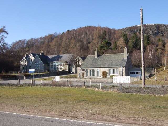
Photo: Wikimedia, CC BY-SA 2.0.
Crathie is a village in Aberdeenshire, Scotland. It stands on the north bank of the River Dee. Abergeldie Castle is 1 mile away. It was built around 1550 and had 19th century additions. Crathie is situated 5 miles southwest of Tominturn.
Tominturn
- Type: Locality
- Location: Aberdeenshire, North East Scotland, Scotland, United Kingdom, Britain and Ireland, Europe
- View on OpenStreetMap
Latitude
57.09046° or 57° 5′ 26″ northLongitude
-3.10384° or 3° 6′ 14″ westOpen location code
9C9R3VRW+5FOpenStreetMap ID
node 4913332642OpenStreetMap feature
place=locality
This page is based on OpenStreetMap, Wikidata, and Wikimedia Commons.
We’d love your help improving our open data sources. Thank you for contributing.
Satellite Map
Discover Tominturn from above in high-definition satellite imagery.
Localities in the Area
Explore places such as Inverinzie and Laggan.
Notable Places Nearby
Highlights include Lary Hill and Chapel Remains.
Aberdeenshire: Must-Visit Destinations
Delve into Aberdeen, Stonehaven, Peterhead, and Banff.
Curious Localities to Discover
Uncover intriguing localities from every corner of the globe.
About Mapcarta. Data © OpenStreetMap contributors and available under the Open Database License". Text is available under the CC BY-SA 4.0 license, except for photos, directions, and the map. Photo: Matmilne, CC0.