Unisanas
Unisanas is a pharmacy in Puente Aranda, Bogotá D.C., Bogotá which is located on Calle 37 Sur. Unisanas is situated nearby to the bus station Calle 40 Sur, as well as near the post office Deprisa.| Tap on a place to explore it |
Places of Interest Nearby
Highlights include Centro Mayor and Parque Mundo Aventura.
Centro Mayor
Shopping center

Photo: EEIM, CC BY-SA 4.0.
Centro Mayor is a shopping mall located in the south of Bogotá, Colombia. It was inaugurated on March 26, 2010. The mall has 248,000 m2 of built area, being the biggest mall in Colombia and the second one in Latin America, behind the Centro Comercial Aricanduva, in São Paulo, Brazil. Centro Mayor is situated 1½ km southeast of Unisanas.
Parque Mundo Aventura
Theme park
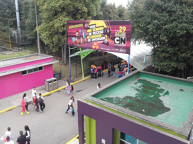
Photo: EEIM, CC BY-SA 3.0.
Parque Mundo Aventura is a theme park, which is situated 2 km north of Unisanas.
General Santander National Police Academy
Police station

Photo: Wikimedia, CC BY-SA 2.0.
General Santander National Police Academy is the main educational center for the Colombian National Police. The academy functions as a university for the formation of its force. General Santander National Police Academy is situated 1½ km south of Unisanas.
Places in the Area
Nearby places include Carvajal and Villa Mayor.

Puente Aranda
Suburb

Photo: Pedro Felipe, CC BY-SA 3.0.
Puente Aranda is the 16th location of the Capital District of the Colombian capital city, Bogotá. It is located in the center part of Bogotá. This district is mostly inhabited by lower middle and working class residents.
Unisanas
- Type: Pharmacy
- Address: Calle 37 Sur, Bogotá D.C.
- Category: health care
- Location: Puente Aranda, Bogotá D.C., Bogotá, Andino, Colombia, South America
- View on OpenStreetMap
Latitude
4.60437° or 4° 36′ 16″ northLongitude
-74.13152° or 74° 7′ 54″ westOpen location code
67P7JV39+P9OpenStreetMap ID
node 5243315976OpenStreetMap feature
amenity=pharmacyOpenStreetMap feature
healthcare=pharmacy
This page is based on OpenStreetMap, Wikidata, and Wikimedia Commons.
We’d love your help improving our open data sources. Thank you for contributing.
Satellite Map
Discover Unisanas from above in high-definition satellite imagery.
Notable Places Nearby
Highlights include Calle 40 Sur and Deprisa.
Nearby Places
Explore places such as Drogueria Y Mini Market M.A.M. and Ferrelectricos Ariza.
Bogotá: Must-Visit Destinations
Delve into La Candelaria, Zona Rosa, Santa Fé-Los Mártires, and Usaquén.
Curious Pharmacies to Discover
Uncover intriguing pharmacies from every corner of the globe.
About Mapcarta. Data © OpenStreetMap contributors and available under the Open Database License". Text is available under the CC BY-SA 4.0 license, except for photos, directions, and the map. Photo: Wikimedia, CC BY-SA 3.0.