The Bomb
The Bomb is a shelter in Rayleigh, Rochford District, England. The Bomb is situated nearby to the town hall The Pavilion, as well as near the park King George V Playing Field.| Tap on a place to explore it |
Places of Interest Nearby
Highlights include Rayleigh Windmill and Rayleigh Castle.
Rayleigh Windmill

Photo: Wikimedia, CC BY-SA 2.0.
Rayleigh Windmill is a grade II listed Tower mill at Rayleigh, Essex, England which has been restored as a landmark and is used as a museum. Rayleigh Windmill is situated 1,200 feet north of The Bomb.
Rayleigh Castle
Scenic viewpoint

Photo: John Myers, CC BY-SA 2.0.
Rayleigh Castle was a masonry and timber castle built in the town of Rayleigh in Essex, England in the 11th century shortly after the Norman Conquest of 1066. All that exists today are the earthwork remains of its large motte-and-bailey. Rayleigh Castle is situated 1,400 feet northwest of The Bomb.
Spread Eagle Public House
Pub

Photo: John Myers, CC BY-SA 2.0.
Spread Eagle Public House is situated 540 feet northwest of The Bomb.
Places in the Area
Nearby places include Rayleigh and Hadleigh.
Rayleigh
Town

Photo: Auntalys, CC BY-SA 3.0.
Rayleigh is a market town and civil parish in the Rochford District of Essex, England, between Chelmsford and Southend-on-Sea, 32 miles east of central London. It had a population of 32,150 at the 2011 census.
Hadleigh
Town

Photo: Edward Clack, CC BY-SA 2.0.
Hadleigh is a town and former civil parish that is within the borough of Castle Point, located in the southeast of the county of Essex, England, on the A13 between Thundersley, Benfleet and Leigh-on-Sea with a population of 18,300. Hadleigh is situated 2 miles south of The Bomb.
North Benfleet
Village
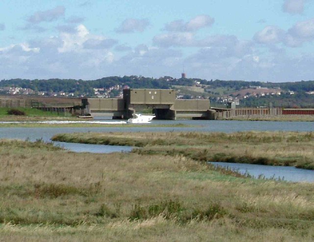
Photo: Glyn Baker, CC BY-SA 2.0.
North Benfleet is a village and former civil parish, now in the parish of Bowers Gifford and North Benfleet, in the Basildon district of Essex, England, located between the towns of Basildon to the west and South Benfleet to the east. North Benfleet is situated 3 miles west of The Bomb.
The Bomb
- Type: Shelter
- Location: Rayleigh, Rochford District, Essex, East of England, England, United Kingdom, Britain and Ireland, Europe
- View on OpenStreetMap
Latitude
51.58519° or 51° 35′ 7″ northLongitude
0.60752° or 0° 36′ 27″ eastOpen location code
9F32HJP5+32OpenStreetMap ID
node 6198203979OpenStreetMap feature
amenity=shelter
This page is based on OpenStreetMap, Wikidata, and Wikimedia Commons.
We’d love your help improving our open data sources. Thank you for contributing.
Satellite Map
Discover The Bomb from above in high-definition satellite imagery.
Places with the Same Name
Discover other places named “The Bomb”.
Notable Places Nearby
Highlights include The Pavilion and King George V Playing Field.
Nearby Places
Explore places such as MSB House and Websters Way.
Essex: Must-Visit Destinations
Delve into Colchester, Chelmsford, Southend-on-Sea, and Basildon.
Curious Shelters to Discover
Uncover intriguing shelters from every corner of the globe.
About Mapcarta. Data © OpenStreetMap contributors and available under the Open Database License". Text is available under the CC BY-SA 4.0 license, except for photos, directions, and the map. Photo: Wikimedia, CC0.