Glamis Centre
Glamis Centre is a bus stop in Fife, North East Scotland, Scotland. Glamis Centre is situated nearby to the community center Exit Community Centre, as well as near Church of Christ Glenrothes.| Tap on a place to explore it |
Places of Interest Nearby
Highlights include St Paul’s Church, Glenrothes and Kingdom Shopping Centre.
St Paul’s Church, Glenrothes
Church
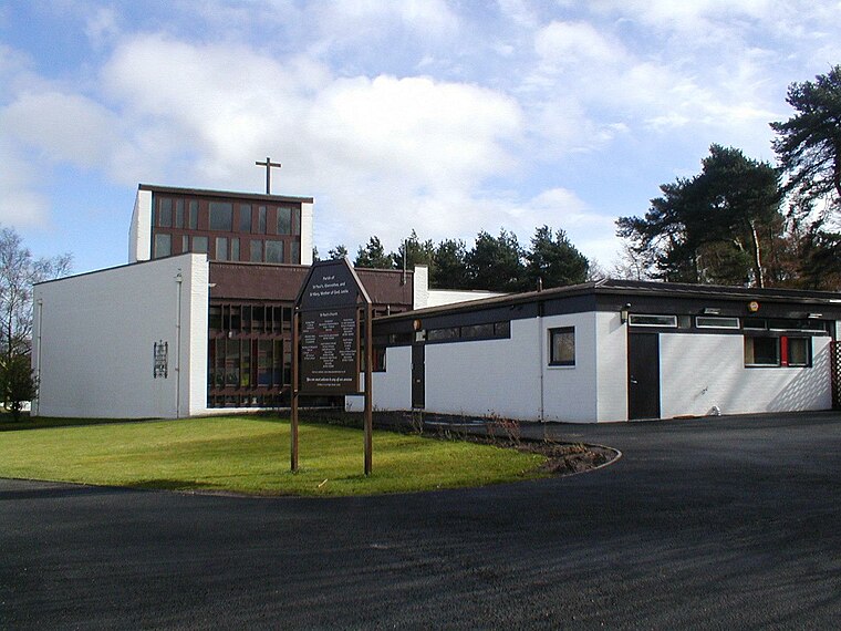
Photo: Mcwesty, CC BY-SA 3.0.
St Paul’s Church, Glenrothes is situated 2,900 feet north of Glamis Centre.
Kingdom Shopping Centre
Shopping center

Photo: Mcwesty, CC BY-SA 3.0.
The Kingdom Shopping Centre is an indoor retail and commercial complex in Glenrothes, located in the town centre. It is the largest indoor shopping centre in Fife and is one of the largest single-level indoor shopping centres in Scotland with around 40,000 m2 of floorspace. Kingdom Shopping Centre is situated 1 mile northwest of Glamis Centre.
Rothes Halls
Theater building

Photo: Mcwesty, Public domain.
Rothes Halls is a theater building, which is situated 1 mile northwest of Glamis Centre.
Places in the Area
Nearby places include Glenrothes and Thornton.
Glenrothes

Photo: Glen Bowman, CC BY 2.0.
Glenrothes is a large town in Fife, with a population in 2016 of 38,510. It's a post-War "New Town" with uninspiring architecture and not normally a town people visit.
Thornton
Village

Photo: Wikimedia, CC BY-SA 2.0.
Thornton is a village in Fife, Scotland. It is between Kirkcaldy and Glenrothes, and stands between the River Ore and Lochty Burn, which are at opposite ends of the main street.
Coaltown of Balgonie
Village
Coaltown of Balgonie is a village of 1,059 people in south central Fife. It is located on the B9130 road, next to the new town of Glenrothes. Coaltown has a Premier shop, a pub, a bowling green, a village hall, an undertakers, and a garage.
Glamis Centre
- Type: Bus stop
- Category: transportation
- Location: Fife, North East Scotland, Scotland, United Kingdom, Britain and Ireland, Europe
- View on OpenStreetMap
Latitude
56.1833° or 56° 10′ 60″ northLongitude
-3.16228° or 3° 9′ 44″ westOpen location code
9C8R5RMQ+83OpenStreetMap ID
node 7283357288OpenStreetMap feature
highway=bus_stopOpenStreetMap feature
public_transport=platform
This page is based on OpenStreetMap, Wikidata, and Wikimedia Commons.
We’d love your help improving our open data sources. Thank you for contributing.
Satellite Map
Discover Glamis Centre from above in high-definition satellite imagery.
Notable Places Nearby
Highlights include Exit Community Centre and Church of Christ Glenrothes.
Nearby Places
Explore places such as Elio’s and Alex Mitchell Butchers.
Fife: Must-Visit Destinations
Delve into Dunfermline, St Andrews, Kirkcaldy, and Glenrothes.
Curious Bus Stops to Discover
Uncover intriguing bus stops from every corner of the globe.
About Mapcarta. Data © OpenStreetMap contributors and available under the Open Database License". Text is available under the CC BY-SA 4.0 license, except for photos, directions, and the map. Photo: AlasdairW, CC BY-SA 3.0.