David Ben-Gurion High School
David Ben-Gurion High School is a school in Central District, Israel. David Ben-Gurion High School is situated nearby to the park Founders‘ Grove, as well as near גרנד קוויל.| Tap on a place to explore it |
Places of Interest Nearby
Highlights include Beit Rishonim and Ness Ziona Synagogue.
Beit Rishonim
Museum

Photo: פלג דורפן, CC BY-SA 3.0.
Beit Rishonim is a museum, which is situated 1 km south of David Ben-Gurion High School.
Ness Ziona Synagogue
Synagogue

Photo: Chenspec, CC BY-SA 4.0.
Ness Ziona Synagogue is situated 1 km south of David Ben-Gurion High School.

Places in the Area
Nearby places include Ness Ziona and Sarafand al-Kharab.
Ness Ziona
Town
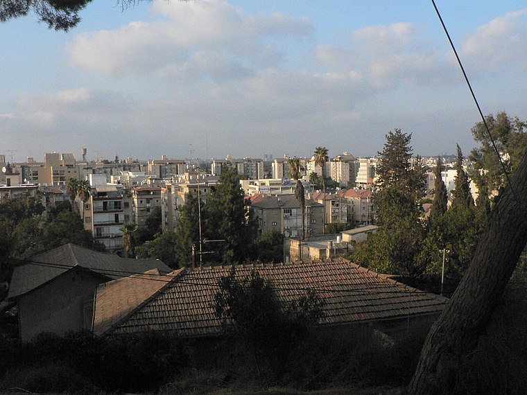
Photo: MathKnight, CC BY 3.0.
Ness Ziona is a city in Central District, Israel. In 2023 it had a population of 47,534, and its jurisdiction was 15,579 dunams.
Sarafand al-Kharab
Neighborhood

Photo: Wikimedia, Public domain.
Sarafand al-Kharab was a Palestinian Arab village in the Ramle Subdistrict, located 50 meters above sea level, 7 kilometers west of Ramla, in the area that is today northeast of Ness Ziona.
Iris
Village

Photo: דוד שי, CC BY-SA 3.0.
Irus is a community settlement in central Israel. Located to the south of Rishon LeZion and west of Nes Ziona, it falls under the jurisdiction of Gan Raveh Regional Council. In 2023 it had a population of 1,072.
David Ben-Gurion High School
- Type: School
- Category: education
- Location: Central District, Israel, Middle East, Asia
- View on OpenStreetMap
Latitude
31.93437° or 31° 56′ 4″ northLongitude
34.79272° or 34° 47′ 34″ eastOpen location code
8G3PWQMV+P3OpenStreetMap ID
node 766148637OpenStreetMap feature
amenity=school
This page is based on OpenStreetMap, Wikidata, and Wikimedia Commons.
We’d love your help improving our open data sources. Thank you for contributing.
Satellite Map
Discover David Ben-Gurion High School from above in high-definition satellite imagery.
In Other Languages
“David Ben-Gurion High School” goes by many names.
- Hebrew: “בית ספר תיכון ע’ש דוד בן-גוריון”
Notable Places Nearby
Highlights include Founders‘ Grove and גרנד קוויל.
Nearby Places
Explore places such as מעבדות and חטיבה עליונה.
Israel: Must-Visit Destinations
Delve into Tel Aviv, Carmel Range, Haifa, and Nazareth.
Curious Schools to Discover
Uncover intriguing schools from every corner of the globe.
About Mapcarta. Data © OpenStreetMap contributors and available under the Open Database License". Text is available under the CC BY-SA 4.0 license, except for photos, directions, and the map. Photo: Bienchido, CC BY-SA 3.0.