The Derby Digger
The Derby Digger is a bus stop in Borough of Basildon, Essex, England. The Derby Digger is situated nearby to Cranfield Park, as well as near Wickford Cemetery.| Tap on a place to explore it |
Places of Interest Nearby
Highlights include The Bromfords School and Wickford railway station.
The Bromfords School
School
The Bromfords School is a coeducational secondary school and sixth form with academy status, located in Wickford, Essex, England. Most pupils live in Wickford, while a large minority of pupils live in nearby Basildon and other neighbouring towns. The Bromfords School is situated 2,900 feet northwest of The Derby Digger.
Wickford railway station
Railway station

Photo: Wykebjs, Public domain.
Wickford railway station is a junction stop on the Shenfield to Southend Line and also the western terminus of the Crouch Valley Line in the east of England, serving the town of Wickford in the Basildon district of Essex. Wickford railway station is situated 1 mile north of The Derby Digger.
Church of St Peter
Church

Photo: Robert Edwards, CC BY-SA 2.0.
Church of St Peter is situated 1 mile southwest of The Derby Digger.
Places in the Area
Nearby places include Wickford and North Benfleet.
Wickford

Photo: Trevor Harris, CC BY-SA 2.0.
Wickford is a town and civil parish in the south of the English county of Essex, with a population of 33,486. Located approximately 30 miles east of London, it is within the Borough of Basildon along with the original town of Basildon, Billericay, Laindon and Pitsea.
North Benfleet
Village
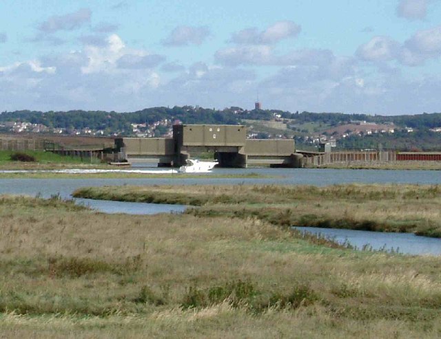
Photo: Glyn Baker, CC BY-SA 2.0.
North Benfleet is a village and former civil parish, now in the parish of Bowers Gifford and North Benfleet, in the Basildon district of Essex, England, located between the towns of Basildon to the west and South Benfleet to the east. North Benfleet is situated 1½ miles southeast of The Derby Digger.
Dale Farm
Locality

Photo: Save Dale Farm, CC BY 2.0.
Dale Farm is a plot of land situated on Oak Lane in Crays Hill, Essex, United Kingdom. Until October 2011, it was the site of one of the largest Traveller concentrations in the UK, at its height housing over 1,000 people, along with the adjacent Oak Lane site. Dale Farm is situated 2 miles west of The Derby Digger.
The Derby Digger
- Type: Bus stop
- Category: transportation
- Location: Borough of Basildon, Essex, East of England, England, United Kingdom, Britain and Ireland, Europe
- View on OpenStreetMap
Latitude
51.60032° or 51° 36′ 1″ northLongitude
0.52028° or 0° 31′ 13″ eastOpen location code
9F32JG2C+44OpenStreetMap ID
node 7716930034OpenStreetMap feature
highway=bus_stopOpenStreetMap feature
public_transport=platform
This page is based on OpenStreetMap, Wikidata, and Wikimedia Commons.
We’d love your help improving our open data sources. Thank you for contributing.
Satellite Map
Discover The Derby Digger from above in high-definition satellite imagery.
Notable Places Nearby
Highlights include Cranfield Park and Wickford Cemetery.
Nearby Places
Explore places such as Darby Digger and Marks & Spencer Simply Food.
Essex: Must-Visit Destinations
Delve into Colchester, Chelmsford, Southend-on-Sea, and Basildon.
Curious Bus Stops to Discover
Uncover intriguing bus stops from every corner of the globe.
About Mapcarta. Data © OpenStreetMap contributors and available under the Open Database License". Text is available under the CC BY-SA 4.0 license, except for photos, directions, and the map. Photo: Wikimedia, CC0.