Rassereno
Rassereno is a locality in Sora, Frosinone, Lazio and has an elevation of 1,300 metres. Rassereno is situated nearby to the locality Ravone, as well as near Trenta Faggi.| Tap on a place to explore it |
Places in the Area
Nearby places include Balsorano and Roccavivi.
Balsorano
Village

Photo: Marica Massaro, CC BY-SA 4.0.
Balsorano is a comune and town in the province of L'Aquila in the Abruzzo region of Italy. Balsorano is situated 7 km north of Rassereno.
Roccavivi
Village

Photo: Lorenvan95, CC BY-SA 4.0.
Roccavivi is a frazione of San Vincenzo Valle Roveto, in the Province of L'Aquila in the Abruzzo, region of Italy. Roccavivi is situated 7 km north of Rassereno.
Castelliri
Village
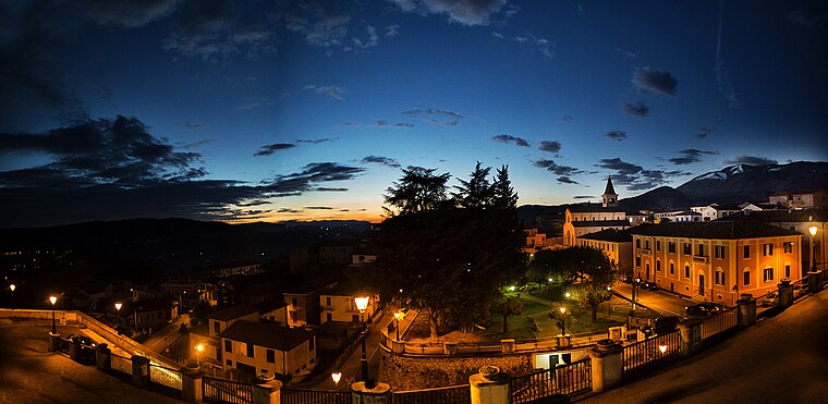
Photo: Aldo Porretta, CC BY-SA 3.0.
Castelliri is a comune of c. 3,500 inhabitants in the province of Frosinone in the Italian region Lazio, located in the valley of the Liri, about 90 kilometres southeast of Rome and about 20 kilometres northeast of Frosinone. Castelliri is situated 8 km south of Rassereno.
Rassereno
- Type: Locality
- Location: Sora, Frosinone, Lazio, Central Italy, Italy, Europe
- View on OpenStreetMap
Latitude
41.74894° or 41° 44′ 56″ northLongitude
13.56171° or 13° 33′ 42″ eastElevation
1,300 metres (4,265 feet)Open location code
8FHMPHX6+HMOpenStreetMap ID
node 8595751854OpenStreetMap feature
place=locality
This page is based on OpenStreetMap, Wikidata, and Wikimedia Commons.
We’d love your help improving our open data sources. Thank you for contributing.
Satellite Map
Discover Rassereno from above in high-definition satellite imagery.
Localities in the Area
Explore places such as Ravone and Trenta Faggi.
Notable Places Nearby
Highlights include Grotta Fra Michele and Monna di Rosa.
Curious Localities to Discover
Uncover intriguing localities from every corner of the globe.
About Mapcarta. Data © OpenStreetMap contributors and available under the Open Database License". Text is available under the CC BY-SA 4.0 license, except for photos, directions, and the map. Photo: Wento, CC BY-SA 3.0.