Molesey Football Club
Molesey Football Club is a building in Elmbridge District, Surrey, England which is located on Mole Place. Molesey Football Club is situated nearby to the pitch Molesey Football Ground, as well as near the recreation area West Molesey Recreation Ground.| Tap on a place to explore it |
Places of Interest Nearby
Highlights include Platt’s Eyot and Garrick’s Ait.
Platt’s Eyot
Island

Photo: Motmit, CC BY-SA 3.0.
Platt's Eyot or Platt's Ait is an island on the River Thames at Hampton, in the London Borough of Richmond upon Thames, England, on the reach between Molesey Lock and Sunbury Lock.
Garrick’s Ait
Islet

Photo: Motmit, CC BY-SA 3.0.
Garrick's Ait, previously known as Shank's Eyot, is an ait in the River Thames in England on the reach above Molesey Lock, the nearest land being Moulsey Hurst on the Surrey bank and the opposite bank being a much narrower riverside park of Hampton. Garrick’s Ait is situated 3,800 feet northeast of Molesey Football Club.
Benn’s Island
Islet

Photo: Motmit, CC BY-SA 3.0.
Benn's Island, previously named Church Eyot, Kember's Eyot and sometimes referred to as Benn's Ait, is a private 0.1-acre ait on the River Thames south-west of London. Benn’s Island is situated 3,800 feet north of Molesey Football Club.
Places in the Area
Nearby places include Molesey and Hampton.
Molesey
Town
Photo: Oxyman, CC BY-SA 2.0.
Molesey is a suburban district comprising two large villages, East Molesey and West Molesey, in the Borough of Elmbridge, Surrey, England. Molesey is within the Greater London Built-up Area, and is situated on the south bank of the River Thames.
Hampton
Suburb
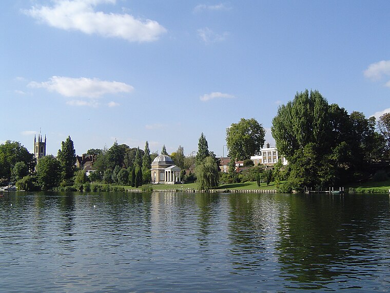
Photo: Motmit, CC BY-SA 3.0.
Hampton is a suburb of Greater London on the north bank of the River Thames, in the London Borough of Richmond upon Thames, England, and the historic county of Middlesex.
Lower Green
Suburb

Photo: AM-LowerGreenEsher, CC BY-SA 4.0.
Lower Green is a residential and commercial area within Esher, in Surrey, England, on the banks of the River Ember and River Mole. The area has many businesses, most of them in the commercial complex comprising Sandown Industrial Complex and Royal Mills.
Molesey Football Club
- Type: Building
- Address: Mole Place
- Location: Elmbridge District, Surrey, South East England, England, United Kingdom, Britain and Ireland, Europe
- View on OpenStreetMap
Latitude
51.40204° or 51° 24′ 7″ northLongitude
-0.36758° or 0° 22′ 3″ westOpen location code
9C3XCJ2J+RXOpenStreetMap ID
way 1325165518OpenStreetMap feature
building=yes
This page is based on OpenStreetMap, Wikidata, and Wikimedia Commons.
We’d love your help improving our open data sources. Thank you for contributing.
Satellite Map
Discover Molesey Football Club from above in high-definition satellite imagery.
Notable Places Nearby
Highlights include Molesey Football Ground and West Molesey Recreation Ground.
Nearby Places
Explore places such as Sainsbury’s Local and Spreighton Road.
Surrey: Must-Visit Destinations
Delve into Guildford, Woking, Godalming, and Epsom.
Curious Buildings to Discover
Uncover intriguing buildings from every corner of the globe.
About Mapcarta. Data © OpenStreetMap contributors and available under the Open Database License". Text is available under the CC BY-SA 4.0 license, except for photos, directions, and the map. Photo: Wikimedia, CC0.