Nydie Mains
Nydie Mains is a farm in Fife, North East Scotland, Scotland. Nydie Mains is situated nearby to the motorhome stopover Clayton Caravan Park, as well as near the forest Nydie Wood.| Tap on a place to explore it |
Places of Interest Nearby
Highlights include Dairsie Castle and Guard Bridge.
Dairsie Castle
Castle

Photo: James Allan, CC BY-SA 2.0.
Dairsie Castle is a restored tower house located 1.3 kilometres south of Dairsie in north-east Fife, Scotland. The castle overlooks the River Eden. Dairsie Castle is situated 2 miles southwest of Nydie Mains.
Guard Bridge
Bridge

Photo: Jim Bain, CC BY-SA 2.0.
Guard Bridge is situated 1¼ miles northeast of Nydie Mains.
Leuchars railway station
Railway station

Photo: Lesbardd, CC BY-SA 4.0.
Leuchars railway station serves the towns of Leuchars and St Andrews in Fife, Scotland. The station is the last northbound stop before Dundee. The station was built as Leuchars Junction station for the route over the Tay Bridge to Dundee, the previous Leuchars station being on the line to Tayport. Leuchars railway station is situated 2 miles north of Nydie Mains.
Places in the Area
Nearby places include Guardbridge and Strathkinness.
Guardbridge
Village

Photo: Wikimedia, CC BY-SA 2.0.
Guardbridge is a village in the north-east of Fife, on the east coast of Scotland. It is approximately 3 miles north-west of St Andrews, and is situated on the estuary of the River Eden, at the junction of the A91 road between St Andrews and Stirling and the A919/A914 road between Leuchars and the Tay Road Bridge.
Strathkinness
Village
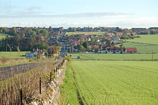
Photo: Jim Bain, CC BY-SA 2.0.
Strathkinness is a small village located 3 miles to the west of St Andrews in North East Fife. A key characteristic of the village is the newly developed housing in the centre of the village.
Dairsie
Village

Photo: Jim Bain, CC BY-SA 2.0.
Dairsie, or Osnaburgh, is a village and parish in north-east Fife, Scotland. It is three miles south-southwest of Leuchars Junction, and three miles east-northeast of Cupar on the A91 Stirling to St Andrews road. Dairsie is situated 1½ miles west of Nydie Mains.
Nydie Mains
- Type: Farm
- Category: agriculture
- Location: Fife, North East Scotland, Scotland, United Kingdom, Britain and Ireland, Europe
- View on OpenStreetMap
Latitude
56.34612° or 56° 20′ 46″ northLongitude
-2.90945° or 2° 54′ 34″ westOpen location code
9C8V83WR+C6OpenStreetMap ID
way 418838956OpenStreetMap feature
landuse=farmyard
This page is based on OpenStreetMap, Wikidata, and Wikimedia Commons.
We’d love your help improving our open data sources. Thank you for contributing.
Satellite Map
Discover Nydie Mains from above in high-definition satellite imagery.
Notable Places Nearby
Highlights include Clayton Caravan Park and Nydie Wood.
Nearby Places
Explore places such as Newton of Nydie and Knockhill Farm.
Fife: Must-Visit Destinations
Delve into Dunfermline, St Andrews, Kirkcaldy, and Glenrothes.
Curious Farms to Discover
Uncover intriguing farms from every corner of the globe.
About Mapcarta. Data © OpenStreetMap contributors and available under the Open Database License". Text is available under the CC BY-SA 4.0 license, except for photos, directions, and the map. Photo: AlasdairW, CC BY-SA 3.0.