Centrale Torrent
Centrale Torrent is an electrical generator in Pré-Saint-Didier, Aosta Valley. Centrale Torrent is situated nearby to the playground Mont Blanc Adventure Park, as well as near the mountain saddle Colle San Carlo.| Tap on a place to explore it |
Places of Interest Nearby
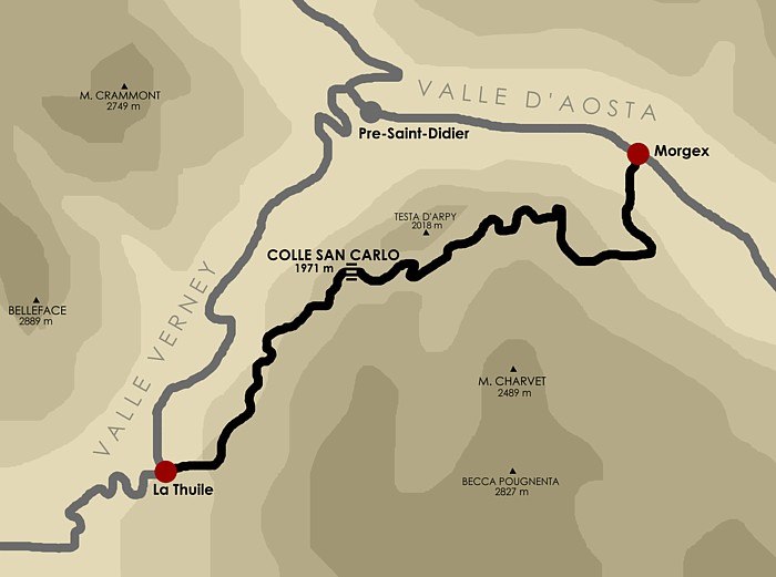
Highlights include Colle San Carlo and Orrido di Verney.
Orrido di Verney
Cliff
 Orrido di Verney is a cliff, which is situated 1¼ km northeast of Centrale Torrent.
Pré-Saint-Didier railway station
Railway station

Photo: Al*from*Lig, CC BY-SA 4.0.
Pré-Saint-Didier railway station is situated 2 km northeast of Centrale Torrent.
Places in the Area
Nearby places include Courmayeur and La Thuile.
Courmayeur

Photo: Kulmalukko, CC BY-SA 3.0.
Courmayeur is a skiing and mountaineering resort at the head of Valle d’Aosta, in northwest Italy. At 1224 m elevation, it has a spectacular location near the foot of Mont Blanc.

Entrèves
Hamlet

Photo: Kulmalukko, CC BY-SA 3.0.
Entrèves is a frazione of Courmayeur in the Aosta Valley region of Italy. Entrèves is situated 7 km north of Centrale Torrent.
Centrale Torrent
- Type: Electrical generator
- Category: industry
- Location: Pré-Saint-Didier, Aosta Valley, Northwest Italy, Italy, Europe
- View on OpenStreetMap
Latitude
45.75064° or 45° 45′ 2″ northLongitude
6.97636° or 6° 58′ 35″ eastInception
2012Operator
Compagnia Valdostana AcqueOpen location code
8FQ8QX2G+7GOpenStreetMap ID
way 435769646
This page is based on OpenStreetMap, Wikidata, and Wikimedia Commons.
We’d love your help improving our open data sources. Thank you for contributing.
Satellite Map
Discover Centrale Torrent from above in high-definition satellite imagery.
Notable Places Nearby
Highlights include Mont Blanc Adventure Park and Sorgente Termale di Pré-Saint-Didier.
Nearby Places
Explore places such as Torrent centrale and Quiedroz Damon.
Aosta Valley: Must-Visit Destinations
Delve into Aosta, Courmayeur, and La Thuile.
Curious Electrical Generators to Discover
Uncover intriguing electrical generators from every corner of the globe.
About Mapcarta. Data © OpenStreetMap contributors and available under the Open Database License". Text is available under the CC BY-SA 4.0 license, except for photos, directions, and the map. Photo: Cruccone, CC BY 3.0.