Mäschleedchen
Mäschleedchen is a forest in Parc Hosingen, Clervaux. Mäschleedchen is situated nearby to the hamlet Lehmkaul, as well as near Waldbierg.| Tap on a place to explore it |
Places of Interest
Highlights include Burg Dasburg and Église Saint-Luc.


Places in the Area
Nearby places include Clervaux and Hosingen.
Clervaux

Photo: Ymblanter, CC BY-SA 3.0.
Clervaux is a town of 5,200 people in the Our Natural Park in northern Luxembourg. Clervaux is a picturesque town that is popular with tourists. Its major attractions are the Saint-Maurice-et-Saint-Maur abbey, and its medieval castle dating from the 12th century, which houses the photographic exhibition “The Family of Man”.
Hosingen
Village
Hosingen is a small village and former commune in northern Luxembourg. On January 1, 2012, the commune merged with Consthum and Hoscheid communes to form the new commune of Parc Hosingen.
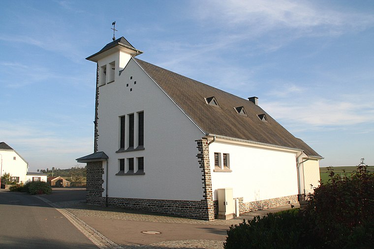
Preischeid
Village

Photo: Colling-architektur, CC BY-SA 3.0.
Preischeid is a municipality in the district of Bitburg-Prüm, in Rhineland-Palatinate, western Germany.
Mäschleedchen
- Type: Forest
- Location: Parc Hosingen, Clervaux, Luxembourg, Benelux, Europe
- View on OpenStreetMap
Latitude
50.0374° or 50° 2′ 15″ northLongitude
6.1011° or 6° 6′ 4″ eastOpen location code
9F2824P2+XFOpenStreetMap ID
way 902990575OpenStreetMap feature
landuse=forest
This page is based on OpenStreetMap, Wikidata, and Wikimedia Commons.
We’d love your help improving our open data sources. Thank you for contributing.
Satellite Map
Discover Mäschleedchen from above in high-definition satellite imagery.
Places with the Same Name
Discover other places named “Mäschleedchen”.
Localities in the Area
Explore places such as Lehmkaul and Waldbierg.
Notable Places Nearby
Highlights include Idebur and Ketschbichsbierg.
Luxembourg: Must-Visit Destinations
Delve into Luxembourg, Central Luxembourg, Schengen, and Echternach.
Curious Forests to Discover
Uncover intriguing forests from every corner of the globe.
About Mapcarta. Data © OpenStreetMap contributors and available under the Open Database License". Text is available under the CC BY-SA 4.0 license, except for photos, directions, and the map. Photo: Michal Osmenda, CC BY-SA 2.0.