Ridout
Ridout is a neighborhood in Singapore. Ridout is situated nearby to the neighborhood Holland Park, as well as near Margaret Drive.| Tap on a place to explore it |
Places of Interest
Highlights include Singapore Botanic Gardens and Saint George’s Church.
Singapore Botanic Gardens
Park

Photo: Wikimedia, CC BY-SA 3.0.
The Singapore Botanic Gardens is a 167-year-old tropical garden located at the fringe of the Orchard Road shopping district in Singapore. It is one of three gardens, and the only tropical garden, to be honoured as a UNESCO World Heritage Site.
Saint George’s Church
Church

Photo: Roysouza, CC BY-SA 4.0.
St George's Church is an Anglican church located on Minden Road in Singapore's Tanglin Planning Area, off Holland Road. Constructed between 1910 and 1913, the church was built for the British troops stationed in Tanglin Barracks which was once the General Headquarters of the British Far East Land Forces.
Istana Woodneuk
Ruins

Photo: Wikimedia, Public domain.
Istana Woodneuk is an abandoned two-storey palace at the former Tyersall Park, bounded by Holland Road and Tyersall Avenue, near the Singapore Botanic Gardens in Singapore.
Places in the Area
Nearby places include Tanglin and Tyersall Park.
Tanglin
Suburb
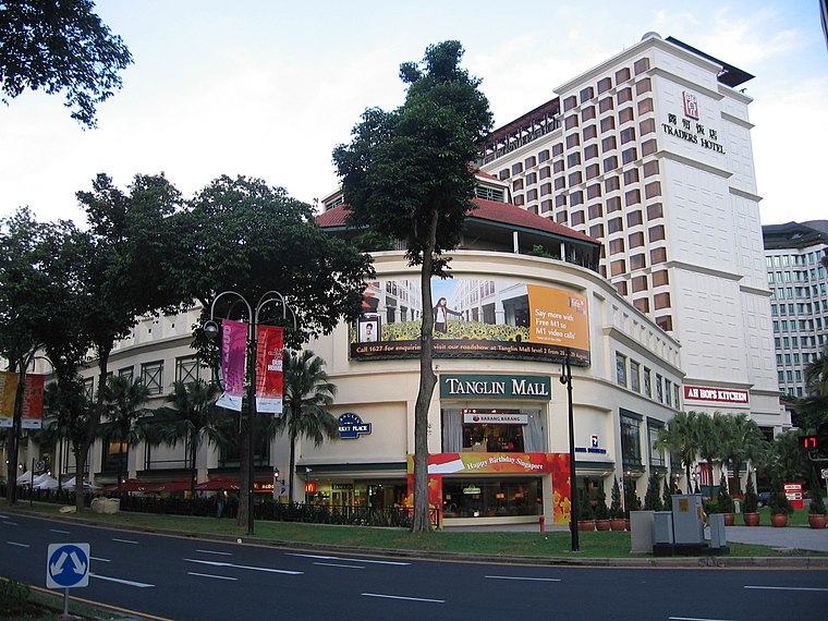
Photo: Sengkang, Copyrighted free use.
Tanglin is a planning area located within the Central Region of Singapore. Tanglin is located west of Newton, Orchard, River Valley and Singapore River, south of Novena, east of Bukit Timah, northeast of Queenstown and north of Bukit Merah.
Tyersall Park
Neighborhood
Tyersall Park is an estate in Singapore, bound by Holland Road and Tyersall Avenue, and near the Singapore Botanic Gardens. Previously a private land belonging to the Sultan of Johor from 1862, some portions of it had been acquired by the Government of Singapore in 1990 and in 2009 respectively.
Commonwealth
Neighborhood
Commonwealth is a subzone of Queenstown, located in the central-western part of Singapore. It is named after the Commonwealth of Nations. Commonwealth consists of Housing and Development Board flats, and there is one primary school and a secondary school in the area, New Town Primary School and Queensway Secondary School.
Ridout
- Type: Neighborhood
- Category: locality
- Location: Singapore, Southeast Asia, Asia
- View on OpenStreetMap
Latitude
1.30343° or 1° 18′ 12″ northLongitude
103.81147° or 103° 48′ 41″ eastOpen location code
6PH58R36+9HOpenStreetMap ID
node 13348031308OpenStreetMap feature
place=neighbourhood
This page is based on OpenStreetMap, Wikidata, and Wikimedia Commons.
We’d love your help improving our open data sources. Thank you for contributing.
Satellite Map
Discover Ridout from above in high-definition satellite imagery.
Places with the Same Name
Discover other places named “Ridout”.
Localities in the Area
Explore places such as Holland Park and Margaret Drive.
Notable Places Nearby
Highlights include The Cage Dempsey and Redsea Gallery.
Singapore: Must-Visit Destinations
Delve into Singapore Changi Airport, Sentosa and Harbourfront, North and West, and Riverside.
Curious Neighborhoods to Discover
Uncover intriguing neighborhoods from every corner of the globe.
About Mapcarta. Data © OpenStreetMap contributors and available under the Open Database License". Text is available under the CC BY-SA 4.0 license, except for photos, directions, and the map. Photo: Khairul Nizam, CC BY 2.0.