The Columbarium
The Columbarium is a cave in Jerusalem District, Israel. The Columbarium is situated nearby to The Burial Cave, as well as near the archaeological site The Synagogue.| Tap on a place to explore it |
Places of Interest Nearby
Highlights include Horvat Midras and Masua lookout.
Horvat Midras
Archaeological site

Photo: Avi1111, CC BY-SA 2.5.
Horvat Midras, or Khirbet Drūsye in Arabic, is an archaeological site located in the central Judaean Lowlands, in modern-day Israel. It contains the remains of an ancient settlement situated on the slopes of a spur near an ancient road that once connected Jerusalem with the southern coastal plain. Horvat Midras is situated 310 metres southeast of The Columbarium.
Masua lookout
Scenic viewpoint
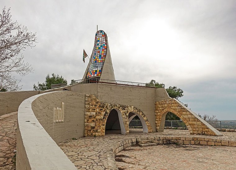
Photo: Wikimedia, CC BY-SA 4.0.
Masua lookout is a scenic viewpoint, which is situated 1½ km northwest of The Columbarium.
Tel Goded
Scenic viewpoint

Photo: Deror avi, CC BY-SA 3.0.
Tell ej-Judeideh is a tell in modern Israel, lying at an elevation of 398 metres above sea-level. The Arabic name is thought to mean, "Mound of the dykes." In Modern Hebrew, the ruin is known by the name Tell Goded. Tel Goded is situated 3½ km southwest of The Columbarium.
Places in the Area
Nearby places include Tzafririm and Givat Yeshayahu.
Tzafririm
Village

Photo: Zivya, CC BY-SA 3.0.
Tzafririm is a moshav in central Israel. Located near Beit Shemesh, it falls under the jurisdiction of Mateh Yehuda Regional Council. In 2023 it had a population of 442.
Givat Yeshayahu
Village

Photo: היידן, CC BY-SA 4.0.
Givat Yeshayahu is a moshav in central Israel. Located in the Valley of Elah around ten kilometres south of Beit Shemesh, it falls under the jurisdiction of Mateh Yehuda Regional Council. In 2023 it had a population of 724.
Srigim
Village

Photo: אסף.צ, CC BY-SA 3.0.
Srigim, also known as Li On, is a community settlement in central Israel. Located to the south of Beit Shemesh. It falls under the jurisdiction of Mateh Yehuda Regional Council.
The Columbarium
- Type: Cave
- Categories: archaeological site, historic site, and landform
- Location: Jerusalem District, Israel, Middle East, Asia
- View on OpenStreetMap
Latitude
31.65707° or 31° 39′ 26″ northLongitude
34.93452° or 34° 56′ 4″ eastElevation
332 metres (1,089 feet)Open location code
8G3PMW4M+RROpenStreetMap ID
node 3577493787OpenStreetMap feature
historic=archaeological_siteOpenStreetMap feature
natural=cave_entrance
This page is based on OpenStreetMap, Wikidata, and Wikimedia Commons.
We’d love your help improving our open data sources. Thank you for contributing.
Satellite Map
Discover The Columbarium from above in high-definition satellite imagery.
In Other Languages
“The Columbarium” goes by many names.
- Hebrew: “מערת הקולומבריום”
Notable Places Nearby
Highlights include The Burial Cave and The Synagogue.
Nearby Places
Explore places such as קקאדו עיצוב בעץ and Tsafririm/HaGat.
Israel: Must-Visit Destinations
Delve into Tel Aviv, Carmel Range, Haifa, and Nazareth.
Curious Caves to Discover
Uncover intriguing caves from every corner of the globe.
About Mapcarta. Data © OpenStreetMap contributors and available under the Open Database License". Text is available under the CC BY-SA 4.0 license, except for photos, directions, and the map. Photo: Bienchido, CC BY-SA 3.0.