Blk 79C
Blk 79C is a bus stop in Singapore. Blk 79C is situated nearby to the wayside shrine Ci Ern Ge (Shrine), as well as near the food court Food Alley 小食巷.| Tap on a place to explore it |
Places of Interest Nearby
Highlights include Toa Payoh Public Library and Toa Payoh.
Toa Payoh Public Library
Library

Photo: Sengkang, Copyrighted free use.
The Toa Payoh Public Library, formerly Toa Payoh Community Library and Toa Payoh Branch Library, is an established library located in the Toa Payoh Town Centre, Singapore, opened on 7 February 1974. Toa Payoh Public Library is situated 220 metres southeast of Blk 79C.
Toa Payoh
Metro station

Photo: ZKang123, CC BY-SA 4.0.
Toa Payoh MRT station is an underground Mass Rapid Transit station on the North–South Line in Toa Payoh, Singapore. Located in the town centre of Toa Payoh, it is integrated with the Toa Payoh Bus Interchange and the HDB Hub, headquarters of the Housing and Development Board. Toa Payoh is situated 260 metres southwest of Blk 79C.
HDB Hub
Shopping center
HDB Hub is the headquarters of the Housing and Development Board. It is located on Lorong 6 Toa Payoh in Toa Payoh, Singapore next to Toa Payoh MRT station. HDB Hub is situated 270 metres south of Blk 79C.
Places in the Area
Nearby places include Toa Payoh and Balestier.
Toa Payoh
Suburb
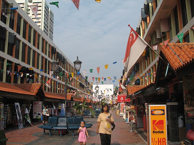
Photo: Terence Ong, CC BY 2.5.
Toa Payoh is a planning area and mature residential town located in the northern part of the Central Region of Singapore. Toa Payoh planning area borders Bishan and Serangoon to the north, the Central Water Catchment to the northwest, Kallang to the south, Geylang to the southeast, Novena to the west and Hougang to the east.
Balestier

Photo: Chensiyuan, CC BY-SA 3.0.
Balestier, Newton, Novena and Toa Payoh are neighbourhoods in central Singapore. Strung along the North-South Line just north of Orchard Road, these four rather dissimilar districts serve to absorb Singapore's urban sprawl and house its inhabitants.
Balestier
Suburb
Balestier is a sub zone located in the planning area of Novena in the Central Region of Singapore. The main road, Balestier Road, links Thomson Road to Serangoon Road and the road continues on as Lavender Street.
Blk 79C
- Type: Bus stop
- Category: transportation
- Location: Singapore, Southeast Asia, Asia
- View on OpenStreetMap
Latitude
1.33438° or 1° 20′ 4″ northLongitude
103.84866° or 103° 50′ 55″ eastOperator
Land Transport AuthorityNetwork
Land Transport AuthorityOpen location code
6PH58RMX+QFOpenStreetMap ID
node 410478851OpenStreetMap feature
highway=bus_stopOpenStreetMap feature
public_transport=platform
This page is based on OpenStreetMap, Wikidata, and Wikimedia Commons.
We’d love your help improving our open data sources. Thank you for contributing.
Satellite Map
Discover Blk 79C from above in high-definition satellite imagery.
Notable Places Nearby
Highlights include Ci Ern Ge (Shrine) and Food Alley 小食巷.
Nearby Places
Explore places such as Blk 177 and Q&M Dental Centre.
Singapore: Must-Visit Destinations
Delve into Singapore Changi Airport, Sentosa and Harbourfront, North and West, and Riverside.
Curious Bus Stops to Discover
Uncover intriguing bus stops from every corner of the globe.
About Mapcarta. Data © OpenStreetMap contributors and available under the Open Database License". Text is available under the CC BY-SA 4.0 license, except for photos, directions, and the map. Photo: Khairul Nizam, CC BY 2.0.