HaDugit/HaTsedef
HaDugit/HaTsedef is a bus stop in Central District, Israel. HaDugit/HaTsedef is situated nearby to the shopping center Rogovin Commercial Center, as well as near the sports venue Yavne Toto Sports Hall.| Tap on a place to explore it |
Places of Interest Nearby
Highlights include Rabban Gamliel Grave and Yavne - East.
Rabban Gamliel Grave
 The mausoleum of Abu Hurayra, or Rabban Gamaliel's Tomb, is a maqam turned synagogue in Sanhedrin Park in Yavne, Rehovot Subdistrict, in the Central District of Israel, formerly belonging to the depopulated Palestinian village of Yibna. Rabban Gamliel Grave is situated 640 metres east of HaDugit/HaTsedef.
Yavne - East
Railway station

Photo: Shuki, CC BY-SA 3.0.
Yavne–East railway station is one of two railway stations in Yavne, Israel. It is on the suburban line Binyamina/Netanya–Tel Aviv–Rehovot/Ashkelon. Yavne East was opened in 1992 and was fully rebuilt in 2009. Yavne - East is situated 1 km southeast of HaDugit/HaTsedef.
Yibna Bridge
Bridge
The Yibna Bridge or Nahr Rubin Bridge is a Mamluk arch bridge near Yibna, which crosses the Nahal Sorek. It was previously used by Route 410 to Rehovot, and was known as the Jumping Bridge due to a bump in the middle of the bridge which caused cars to jump if speeding. Yibna Bridge is situated 1½ km east of HaDugit/HaTsedef.
Places in the Area
Nearby places include Yavne and Ben Zakai.
Yavne
Town
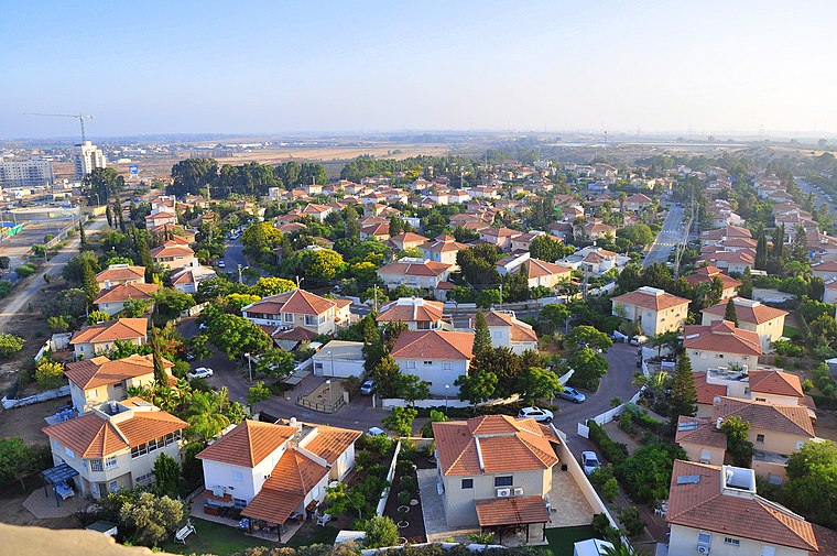 Yavne is a city in the Central District of Israel. In 2023 it had a population of 57,725. Modern Yavne was established in 1949. It is located near the ruins of the ancient town of Yibna, later the village of Yibna, and today the archeological site of Tel Yavne.
Ben Zakai
Village
Ben Zakai is a religious moshav in central Israel. Located in the Shephelah, it falls under the jurisdiction of Hevel Yavne Regional Council. In 2023 it had a population of 997.
Kfar HaNagid
Village

Photo: Shuki, CC BY-SA 3.0.
Kfar HaNagid is a moshav in central Israel. Located in the coastal plain around 20 km south of Tel Aviv and north of Yavne, it falls under the jurisdiction of Gan Raveh Regional Council. In 2023 it had a population of 971. Kfar HaNagid is situated 2½ km northeast of HaDugit/HaTsedef.
HaDugit/HaTsedef
- Type: Bus stop
- Category: transportation
- Location: Central District, Israel, Middle East, Asia
- View on OpenStreetMap
Latitude
31.86745° or 31° 52′ 3″ northLongitude
34.73592° or 34° 44′ 9″ eastOpen location code
8G3PVP8P+X9OpenStreetMap ID
node 5210721957OpenStreetMap feature
highway=bus_stopOpenStreetMap feature
public_transport=platform
This page is based on OpenStreetMap, Wikidata, and Wikimedia Commons.
We’d love your help improving our open data sources. Thank you for contributing.
Satellite Map
Discover HaDugit/HaTsedef from above in high-definition satellite imagery.
In Other Languages
From Arabic to Hebrew—“HaDugit/HaTsedef” goes by many names.
- Arabic: “هدوجيت/ هتسداف”
- Hebrew: “הדוגית/הצדף”
Notable Places Nearby
Highlights include Rogovin Commercial Center and Yavne Toto Sports Hall.
Nearby Places
Explore places such as HaDugit/HaMifras and Bank Hapoalim.
Israel: Must-Visit Destinations
Delve into Tel Aviv, Carmel Range, Haifa, and Nazareth.
Curious Bus Stops to Discover
Uncover intriguing bus stops from every corner of the globe.
About Mapcarta. Data © OpenStreetMap contributors and available under the Open Database License". Text is available under the CC BY-SA 4.0 license, except for photos, directions, and the map. Photo: Bienchido, CC BY-SA 3.0.