Polícia Militar de Trânsito
Polícia Militar de Trânsito is a police station in Subprefecture of Sé, São Paulo, São Paulo which is located on Avenida do Estado. Polícia Militar de Trânsito is situated nearby to the historic building Estação do Pari, as well as near the park Praça Coronel Odilon Aquino de Oliveira.| Tap on a place to explore it |
Places of Interest Nearby
Highlights include Mirante do Vale and Edifício Altino Arantes.
Mirante do Vale
 Mirante do Vale Building, commonly called Mirante do Vale, is a 138-metre office skyscraper located in São Paulo, Brazil, in the area of Downtown São Paulo and Vale do Anhangabaú. Mirante do Vale is situated 1½ km southwest of Polícia Militar de Trânsito.
Edifício Altino Arantes

Photo: Wikimedia, CC BY-SA 4.0.
The Altino Arantes Building, also known as the Banespa Building and most popularly by Banespão, is an important Art Deco skyscraper located in São Paulo, Brazil. Edifício Altino Arantes is situated 1½ km southwest of Polícia Militar de Trânsito.
Mesquita do Brás
Mosque
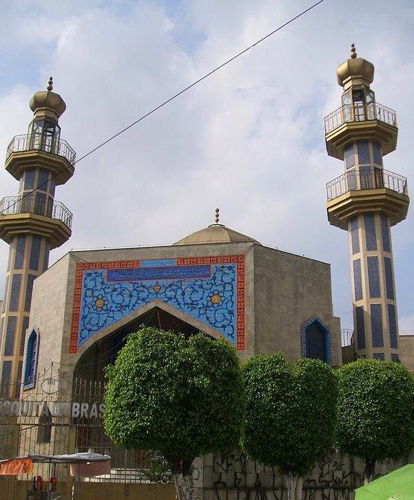
Photo: Dornicke, Public domain.
Mesquita do Brás is a mosque, which is situated 320 metres southeast of Polícia Militar de Trânsito.
Places in the Area
Nearby places include Pari and Brás.
Pari
Suburb

Photo: Elrapha, CC BY-SA 3.0.
Pari is one of 96 districts in the city of São Paulo, Brazil. Administratively part of the Southeast Zone of São Paulo, Pari is located immediately to the east of the historic downtown in the Subprefecture of Mooca.
Brás
Suburb
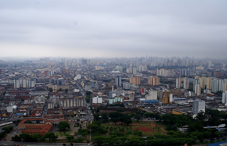
Photo: Lukaaz, CC BY-SA 3.0.
Brás is one of 96 districts in the city of São Paulo, Brazil. Administratively part of the Southeast Zone of São Paulo, Brás is located immediately to the east of the historic downtown in the Subprefecture of Mooca.
Bom Retiro
Suburb
Bom Retiro is a central district in the city of São Paulo, Brazil. It is primarily commercial but has industrial and residential areas. The district is served by Line 1 of the São Paulo Metro and by the lines 7, 10, and 11 of the CPTM.
Polícia Militar de Trânsito
- Type: Police station
- Address: 2023 Avenida do Estado, São Paulo, 01107-000
- Location: Subprefecture of Sé, São Paulo, Grande São Paulo, São Paulo, Southeast, Brazil, South America
- View on OpenStreetMap
Latitude
-23.53407° or 23° 32′ 3″ southLongitude
-46.62464° or 46° 37′ 29″ westOpen location code
588MF98G+94OpenStreetMap ID
way 391656621OpenStreetMap feature
amenity=police
This page is based on OpenStreetMap, Wikidata, and Wikimedia Commons.
We’d love your help improving our open data sources. Thank you for contributing.
Satellite Map
Discover Polícia Militar de Trânsito from above in high-definition satellite imagery.
Notable Places Nearby
Highlights include Estação do Pari and Praça Coronel Odilon Aquino de Oliveira.
Nearby Places
Explore places such as Residencial Itaporã and Edú Mercado.
São Paulo: Must-Visit Destinations
Delve into Paulista, Downtown São Paulo, West Side, and Northeast São Paulo.
Curious Police Stations to Discover
Uncover intriguing police stations from every corner of the globe.
About Mapcarta. Data © OpenStreetMap contributors and available under the Open Database License". Text is available under the CC BY-SA 4.0 license, except for photos, directions, and the map. Photo: Wikimedia, CC BY 2.5.