Lochindores
Lochindores is a dwelling in Angus, North East Scotland, Scotland. Lochindores is situated nearby to the forest Naiad Wood, as well as near the nature reserve Balshando Bog.| Tap on a place to explore it |
Places of Interest Nearby
Highlights include Long Loch and Pitlyal Loch.
Long Loch
Lake
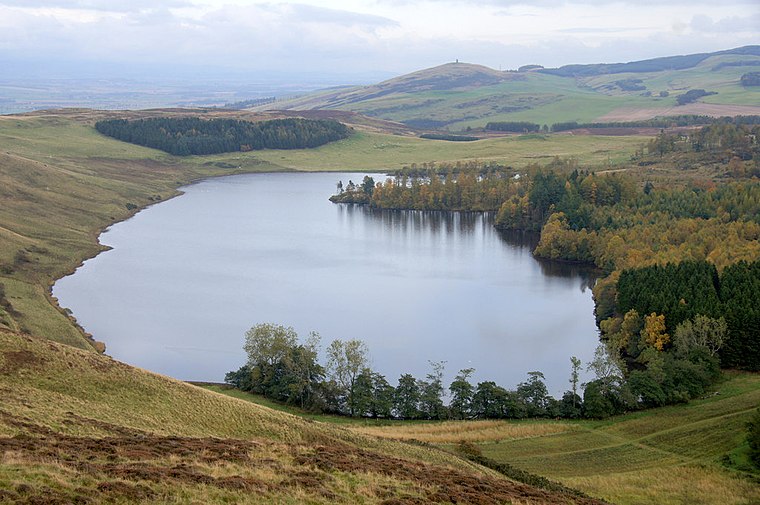
Photo: Wikimedia, CC BY-SA 2.0.
Long Loch is a small lowland freshwater loch within the Sidlaw Hills in Angus. It is 1.8 miles south of the village of Newtyle, three miles east-south-east of Coupar Angus and 2 miles directly north of Lundie. Long Loch is situated 2 miles northeast of Lochindores.
Pitlyal Loch
Lake

Photo: Wikimedia, CC BY-SA 2.0.
Pitlyal Loch also known as Round Loch is a small lochan in Sidlaw Hills in Angus. It is located southeast of Long Loch and is almost directly south of Newtyle and 5 miles south-by-south-east of Coupar Angus. Pitlyal Loch is situated 2 miles northeast of Lochindores.
Gask Hill
Peak
Gask Hill is a hill located on the Sidlaw range in south east Perthshire, Scotland. Gask Hill is located near Coupar Angus and is seen easily from the roadside. It lies between Northballo Hill to the northeast and its parent peak King's Seat to the southwest. Gask Hill is situated 2 miles west of Lochindores.
Places in the Area
Nearby places include Lundie and Kettins.
Lundie
Village

Photo: Anne Burgess, CC BY-SA 2.0.
Lundie is a parish and small settlement in Angus, Scotland, 10 miles northwest of Dundee, situated at the head of the Dighty valley in the Sidlaws, off the A923 Dundee to Coupar Angus road.
Kettins
Village

Photo: Oliver Dixon, CC BY-SA 2.0.
Kettins is a village in Perth and Kinross, Scotland about 14 miles northeast of Perth and 11 miles northwest of Dundee. It is 1 mile from Coupar Angus, north of the A923 road. Kettins is situated 3 miles northwest of Lochindores.
Abernyte
Village

Photo: Snaik, CC BY-SA 2.0.
Abernyte is a small village in Perth and Kinross in Scotland. Abernyte is situated 3 miles south of Lochindores.
Lochindores
- Type: Dwelling
- Categories: locality, residential building, and building
- Location: Angus, North East Scotland, Scotland, United Kingdom, Britain and Ireland, Europe
- View on OpenStreetMap
Latitude
56.50841° or 56° 30′ 30″ northLongitude
-3.18038° or 3° 10′ 49″ westOpen location code
9C8RGR59+9ROpenStreetMap ID
node 5866557079OpenStreetMap feature
place=isolated_dwelling
This page is based on OpenStreetMap, Wikidata, and Wikimedia Commons.
We’d love your help improving our open data sources. Thank you for contributing.
Satellite Map
Discover Lochindores from above in high-definition satellite imagery.
Notable Places Nearby
Highlights include Lochindores Loch and Naiad Wood.
Nearby Places
Explore places such as Lochindores and Thrawparts.
Angus: Must-Visit Destinations
Delve into Dundee, Arbroath, Forfar, and Montrose.
Curious Dwellings to Discover
Uncover intriguing dwellings from every corner of the globe.
About Mapcarta. Data © OpenStreetMap contributors and available under the Open Database License". Text is available under the CC BY-SA 4.0 license, except for photos, directions, and the map. Photo: Wikimedia, CC0.